Lincoln & Witham Landscape Recovery
Successful Landscape Recovery Pilot Bid for the Lincoln & Witham Landscape Recovery
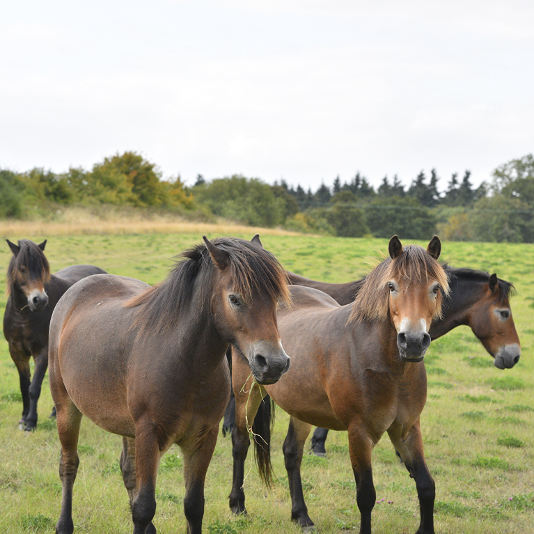
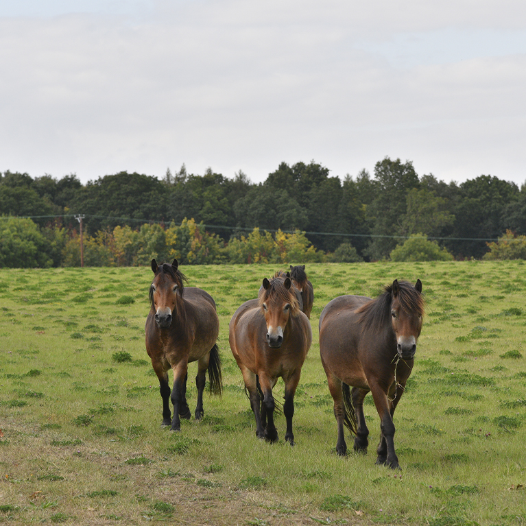
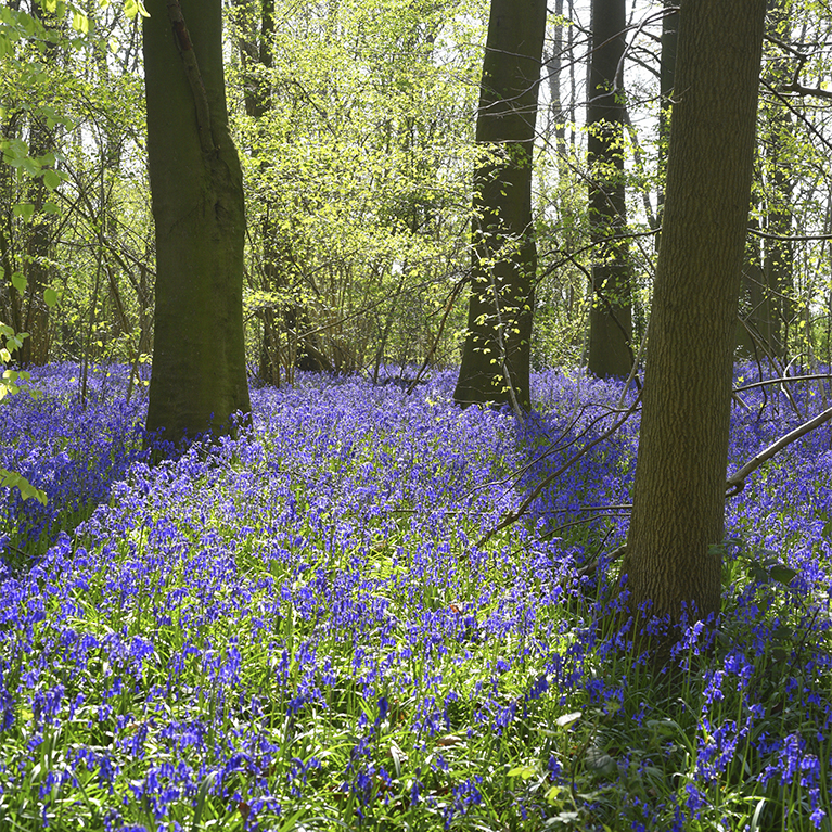
Farmers in the Witham Valley are looking at how food production and nature can become more resilient to challenges such as climate change and flooding. Their vision is to create a connected and nature-rich farmed landscape along the Upper Witham Valley.
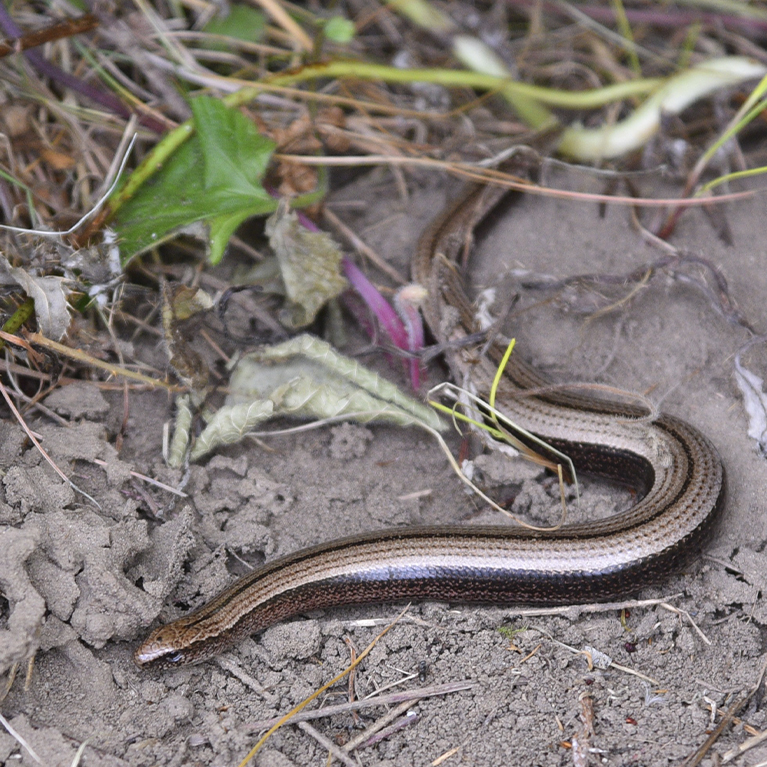
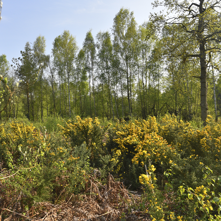
The area includes the urban fringes of the historic city of Lincoln, takes in Wilder Doddington, currently the largest inland site for nature in the county and the Lincolnshire Wildlife Trust’s Whisby Nature Park. It also includes commons, urban and country parks, at least two Sites of Special Scientific Interest (SSSI’s), Ancient Woodlands, wildlife sites, MOD land, privately owned and community interest sites.
Lincolnshire is an important food producing county and so these sites, whilst all important for nature, are often islands surrounded by seas of intensively farmed land. In the face of climate change, these islands offer less scope for nature to adjust and relocate. This project aims to connect them with wildlife corridors and to support adoption of more nature friendly land management in-between, resulting in better resilience for both wildlife and food production.


the plan includes:
- Working towards more regenerative food production systems with less reliance on artificial inputs and as a result improved farm and food security, and soil health
- Reducing carbon emissions and creating more opportunities for carbon storage in soils, hedges and woodland
- Connecting existing nature sites by creating corridors for nature, for example by planting or enhancing hedgerows and woodland
- Exploring opportunities for the Development of Natural Flood Management, creation of wetlands and water meadows along the Upper Witham valley, which could improve water quality and reduced flood risk
- Connecting with communities and non-food producing sites to use these as crucial parts of a nature network
- Improved access to green spaces on cycle paths, bridleways and footpaths
- New wellbeing, learning and volunteering opportunities
exciting times for the Upper Witham Valley
A group of over 30 landowners with some 6,200 hectares of land stretching from inner Lincoln towards Newark along the Witham Valley has been successful in a bid for a Landscape Recovery pilot.
Landscape Recovery is one of the new post-Brexit Environmental Land Management Schemes and is designed to encourage long-term, large-scale projects, in this case focusing on:
net zero farming
protected sites
Creating better existing places for nature.
wildlife rich habitats
Connections through the food production for nature to adapt to climate change.
The funding is for a 2 year Development Phase, which began in May 2024, during which The Lincoln & Witham Landscape Recovery will work up detailed plans to:
- Improve and enhance the many existing green spaces and protected wildlife sites in the project area, and connect them into a nature network with nature-corridors such as hedgerows, field margins, woodland planting.
- Draw up plans to maximise benefits for the communities that live in and visit the area, such as Green and Social Prescribing, volunteering and work experience opportunities, and new long distance paths and routes to underpin nature based tourism.
- Identify a blend of government and private sector finance to pay for the activities for the long term.
map of the landscape recovery area
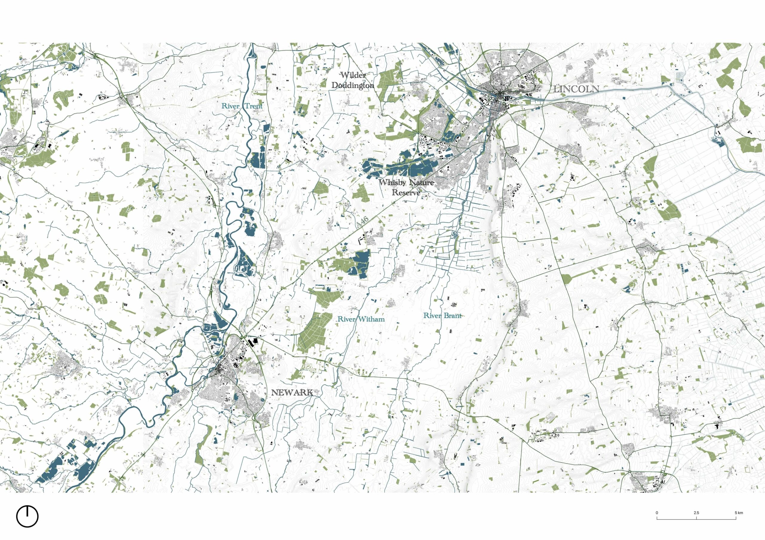
sites of wildlife interest

Lincoln and Witham Landscape Recovery project area
