small market town known for its connections with the flower industry, with history dating back to medieval times
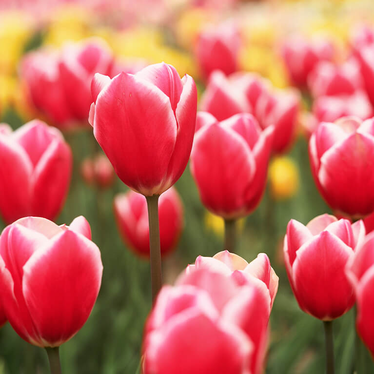
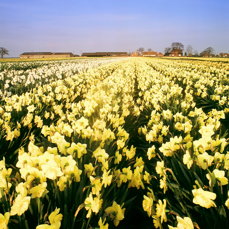
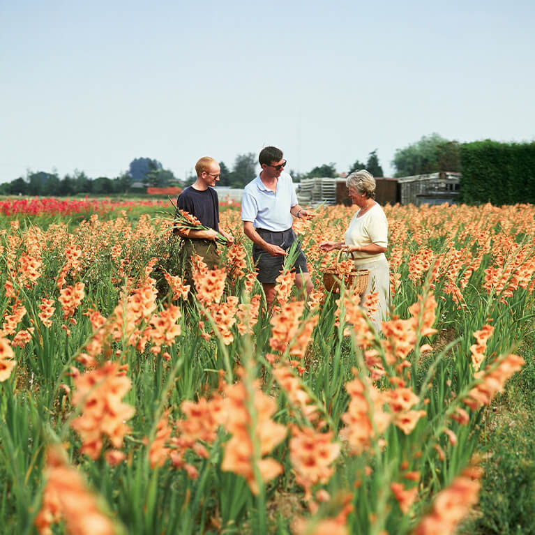
Some 40% of England’s bulbs and flowers are produced in the fens and the tulip is represented on one of the Holbeach town signs. Until the early 17th century the sea came to within 2 miles of the town, but following land drainage the coastline moved 9 miles away leaving Holbeach surrounded by reclaimed fertile agricultural land. All Saints’ Church was begun in 1225 but is largely 14th century.
There is evidence to suggest South Holland was occupied throughout the Roman period. Scattered finds such as pottery do indicate a level of activity in the area. Similarly, the evidence for an early Medieval settlement in the area is scarce, the name Holbeach probably derives from Old English for ‘deep brook’ or ‘hollow’ and ‘back’ meaning concave ridge.
Holbeach expanded rapidly in the 19th century as the population of the county surged. The population of Holbeach in 1801 was 2,683 and by 1881 had grown to 5,357 and many new houses and streets were constructed to accommodate this burgeoning population including Albert Street, Edinburgh Walk and Park Street.
In 1858 Holbeach was connected to the railway network which also led to a modification of the townscape as a large portion of agricultural land to the south became railway sidings and goods sheds.
things to do in the area
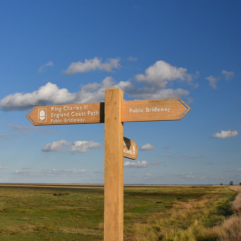
The King Charles III England Coast Path
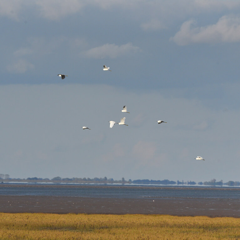
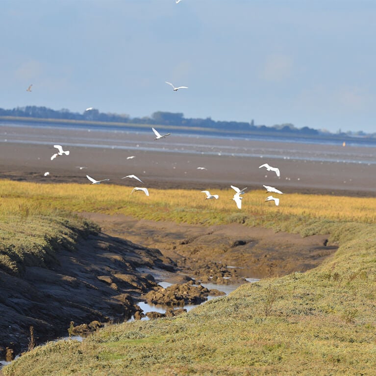
When it is completed the King Charles III England Coast Path will be the longest walking route in the world, the 2,700 mile coast path will encircle the entire English coastline. When completed the total length in Lincolnshire will be 124 miles. Holbeach is close to the Gibraltar Point to Cross Keys Bridge at Sutton Bridge section of the coast path. Notable for its big skies and birdwatching opportunities this is a glorious walk beside The Wash.
did you know?
The first mention of Holbeach is recorded in 810AD in a charter in which the lands in the area were granted to Siward of Crowland Abbey. It is thought that the name Holbeach derives from the early medieval period – Hol meaning a ‘concave ridge’ and baec meaning ‘a back’ – possibly the end of a topographical feature. By the Domesday survey of 1086, Holbeach was recorded as being the largest settlement in the area, which included other settlements like Spalding, Whaplode and Crowland. Holbeach’s growth during the medieval period is partially the result of the continued connection to the salt industry.
The medieval period saw Holbeach begin to become the town it is today. All Saint’s Church was built in c1340, although evidence shows that it is likely it was built on the site of an older church. The road layout in the centre of Holbeach likely also originated in the medieval period.
The right to hold a market was granted to the town in 1252 and the economy of medieval Holbeach was built upon local trades such as salt production. Salt was produced extensively locally and in the surrounding area, much of which would have passed through Holbeach to be processed, traded, and taxed.
Horse trading is known to have been held here. It was outside the Horse & Groom where the horses were paraded back and forth along Chapel Street for prospective buyers. Carter’s Park was founded in 1929 by Herbert Carter a local farmer and was donated to the town.
enjoy a bite to eat nearby
more about the South Countryside
Discover more information about things to do, food and drink and places to stay in the area.
