Lincolnshire has a coastline of 124 miles consisting of wide sandy beaches and nature reserves popular with migrating birds. The historic City of Lincoln is on the west side of the county and there are numerous small market towns. Lincolnshire is rural, so don’t expect motorways but do expect lovely journeys across the Wolds and along the Lincoln Edge – try one of our recommended scenic routes. Lincolnshire is also a very big county, roughly 100 miles by 50 miles, so pace yourself.
Lincolnshire is a big county and there are often a number of route choices to get to your destination. You’ve got time on your hands so why not take the pretty route? These are just a few of our favourites.
The Bluestone Heath Road
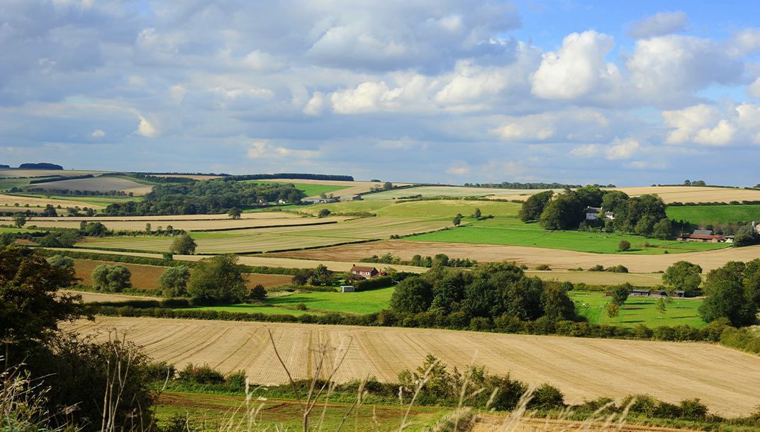
A lovely route to get a feel for the Lincolnshire Wolds, designated an Area of Outstanding Natural Beauty in 1973. The Bluestone Heath Road follows the crest of the Wolds and gives spectacular views, at some points you can see Lincoln Cathedral on the skyline. It is an ancient drove road running from west to east. It was used by the Ancient Britons long before the Romans came and the area has been a rich source of archaeological finds. These fertile rolling chalk hills have been shaped by farming and most of the villages are tucked away in valleys.

Bluestone Heath road looking towards Scamblesby
Caistor High Street
A Roman road from Caistor to Baumber, near Horncastle, now the B1225. Caistor was originally a Roman fortress and remains of Roman wall can be found in both towns.
Wragby to Louth via Burgh on Bain
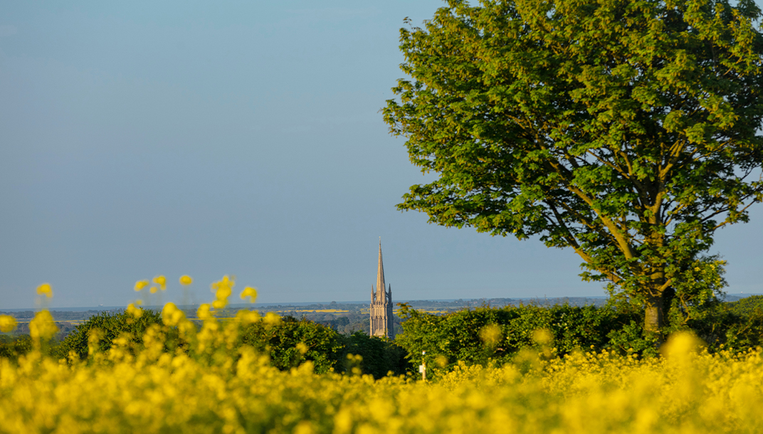
From Wragby to Louth via Burgh on Bain (A157) is another west east route with spectacular views across the Wolds. At harvest time this farming landscape turns absolutely golden and is particularly stunning on a sunny evening. You will be nearly at Louth before you spot the soaring spire of St James’ Church.

View of St James' Church
Woolsthorpe-by-Colsterworth through Grimsthorpe to Bourne
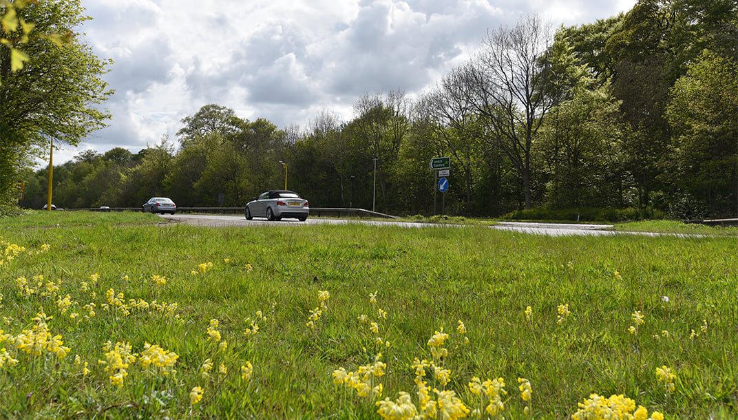
This A151 takes you from the busy A1 across undulating landscape to the market town of Bourne. You will pass Grimsthorpe Castle set in 3000 acres of rolling pastures, lakes and woodland landscaped by Capability Brown. It consists mainly of oak trees replanted in the 17th century, oaks having been felled for ship building during the Tudor period and again during Cromwell’s Commonwealth.

A1 north of Woolsthorpe
Along the Lincoln Edge, also known as the Lincoln Cliff
This major limestone escarpment runs for over 50 miles from near Grantham to the Humber Estuary. There is a major gap at Lincoln where the River Witham flows through and Lincoln Cathedral sits on the highest point of the Lincoln Edge. Travel along this ridge both north and south for fine views. North on the B1398 would take you via the former RAF Scampton where there is a good viewing area for watching the Red Arrows practicing. Travel onto the former RAF Hemswell now home to the very extensive Hemswell Antiques, where you could very easily lose a whole day. Traveling south on the A607 along the Lincoln Edge would take you past the very active RAF Waddington, which also has a viewing area. It also takes you through a series of very attractive villages such as Navenby and Fulbeck. The RAF was born in 1918 from the Royal Flying Corps and the Royal Naval Air Service which flew from Lincolnshire during the First World War, often from little more than grass fields with the updraft of the Lincoln Edge providing invaluable help to the flimsy aircraft.