(4.02km)
15 mins
Walking
Marton Long Walk
Marton
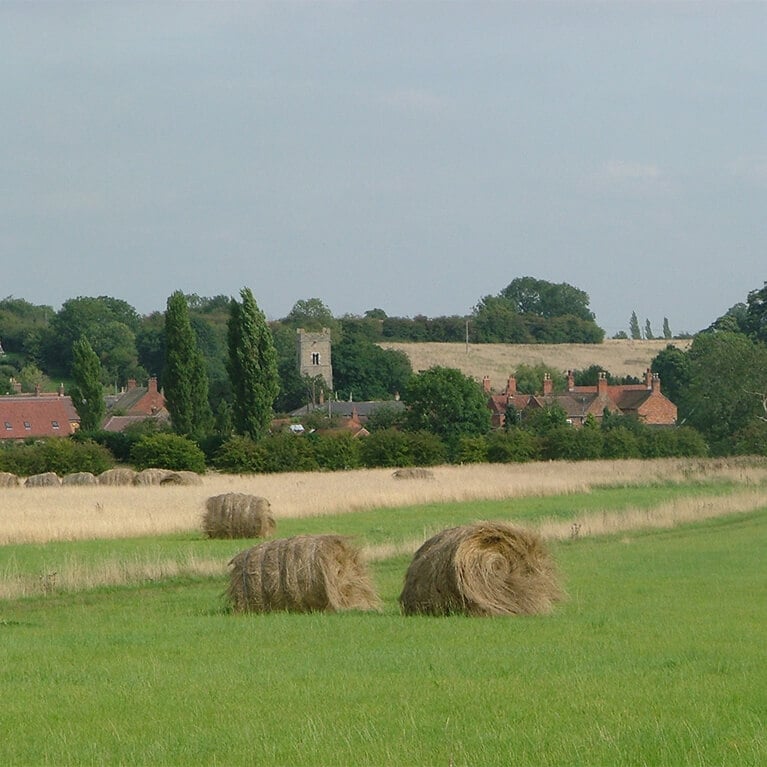
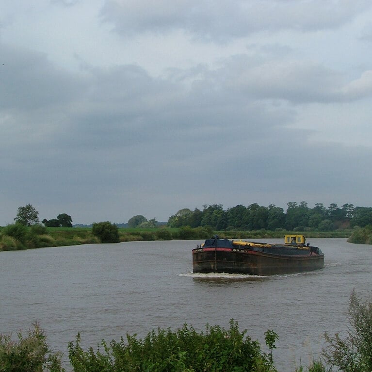
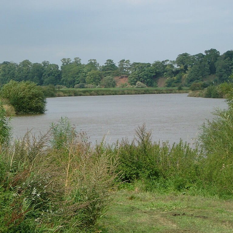
A circular walk along an old Roman road and the banks of the River Trent. Apart from the river, the landscape is dominated by the cooling towers of the power stations situated along the river in Nottinghamshire. Marton is located five miles south of Gainsborough on the A156. Mostly level walking, although it may be muddy and uneven in places.
Starting point
St Margaret's Church
High Street
DN21 5AJ
Grid reference: SK 839 817
Linked to Public Transport
Dog Friendly
The Roman road, known as Tillbridge Lane and Littleborough Lane, linked Ermine Street, north of Lincoln, to York, and crossed the River Trent west of Marton at Littleborough where there was a Roman settlement known as Segelocum. There is also evidence of a Roman fort at Marton which guarded the river crossing.
The River Trent at 274 km (171 miles) is the third longest river in England after the Thames and Severn. It rises in Biddulph Moor in North Staffordshire before making its way through the counties of Derbyshire, Leicestershire, Nottinghamshire, and Lincolnshire to join the North Sea at the Humber Estuary.
The Trent and Severn are the only two tidal rivers in England and both have naturally occuring tidal waves, known as the Severn Bore and Trent Aegir, in their lower reaches. The Trent Aegir is named after the Norse god of the seashore or ocean, Oegir, and occurs during high spring tides. It can be seen on this stretch of the river but the best places to view it are at Gainsborough and Morton.
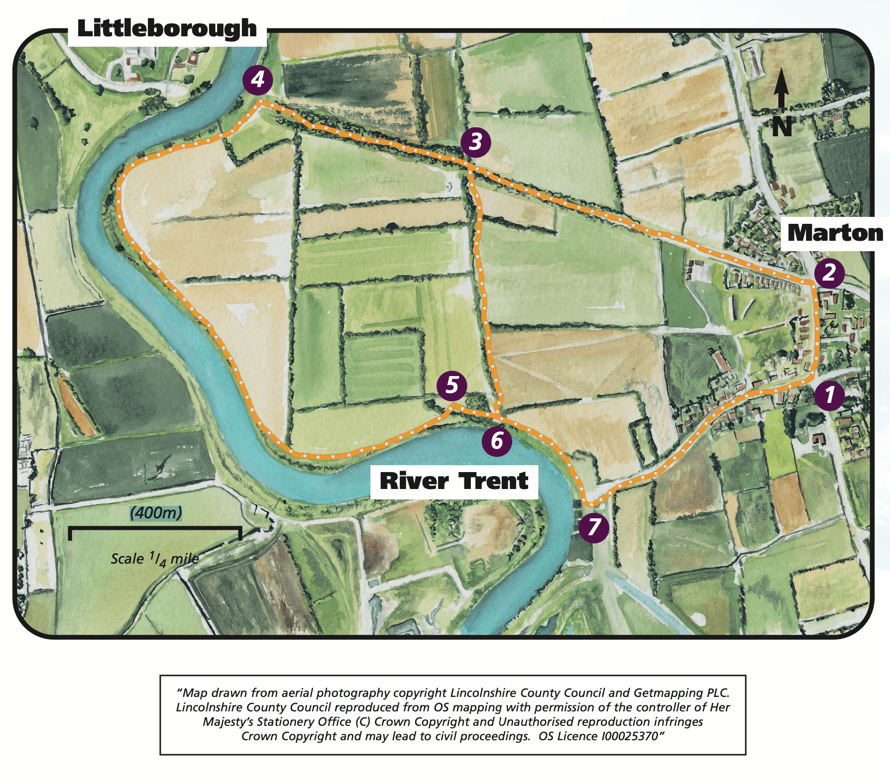
- 1From the church walk north along the High Street, past the Ingleby Arms, to a crossroads.
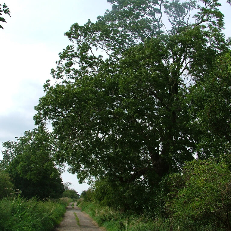
- 2Turn left down Littleborough Lane, the old Roman road. Continue to follow it as it turns into a track and heads towards the river.
- 3For the longer walk continue to follow the old Roman road to the banks of the river.
- 4Turn left and walk along the river bank. Follow it for approximately one mile (1.5 kilometres) before entering a field on the left through a small metal gate.
- 5Turn right along the side of the field. At the track, before a flight of steps, turn right towards the river.
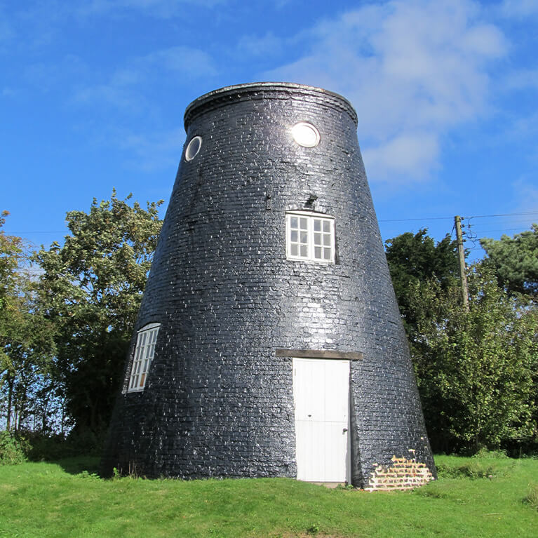
- 6At the river, turn left and follow the footpath along the riverbank for approximately 250m to Trent Port. (If this path is flooded, climb the steps and follow the footpath past the mill to Trent Port).
- 7At the Port, below the mill, turn left along a track to join a road. Continue straight ahead along the road to return to Marton village and the start point.
The walk uses roadside paths, tracks, filed paths and river bank. You may encounter stiles and livestock.
