(1.21km)
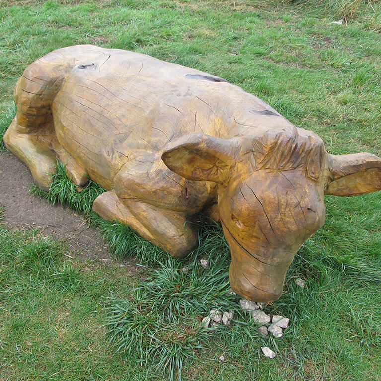
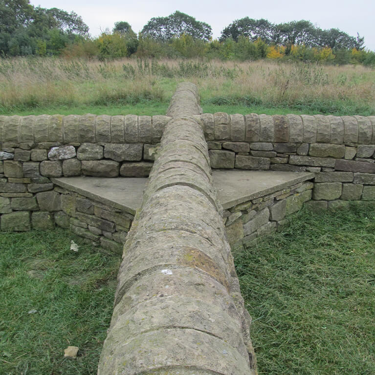
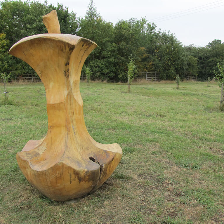
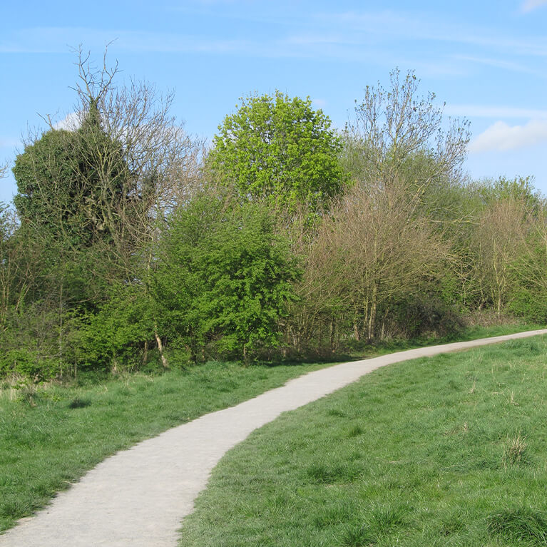
This local nature reserve is a former landfill site. There is woodland, meadows, a play area, picnic area and sculptures.
Starting point
Mareham Lane
Sleaford
NG34 7JP
Linked to Public Transport
Dog Friendly
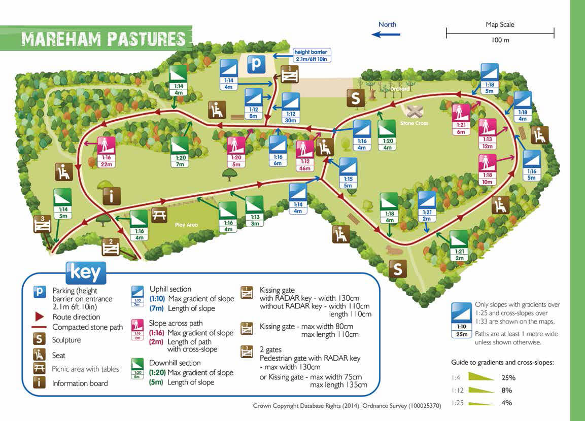
The car park is located off Mareham Lane, Sleaford (height barrier 2.1m at entrance). The car park surface is loose stone within a plastic grid. There are two marked disabled bays. The car park is closed overnight.
The pedestrian entrance is located off Lavender Close, Sleaford.
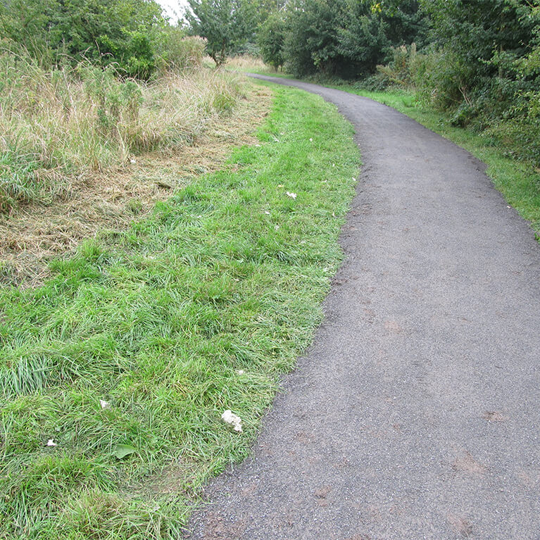
The path surface consists of compacted stone with some loose stones. The route is mostly level.
Steepest uphill section: 1:12 (8%) for a distance of 30m
Steepest downhill section: 1:13 (7%) for a distance of three metres
Narrowest point: all paths are over one metre wide. The pedestrian entrance gates are 75cm and 80cm wide
Greatest cross slope: 1:12 (8%) for a distance of 46m

find out more
Lincolnshire County Council
Find out more information about Mareham Pastures on the Lincolnshire County Council website.
things to do in the area
Battle of Britain Memorial Flight Visitor Centre (BBMF)
Dogdyke Steam Drainage Station
Metheringham Airfield Visitor Centre
Sleaford Tourist Information Centre
Crazee Bongos Indoor Play Centre
RAF Digby Lima Sector Operations Room
Cranwell Aviation Heritage Museum
Giant Lincoln Bike Shop at Doddington Hall
Historic Lincoln & Surrounding Area
Lincolnshire Road Transport Museum
Poacher Line Railway Station Walks
