(6.04 km)
45 mins
One in a series of walks using sections of the Viking Way to discover local history and wildlife. This walk links the town of Caistor with the village of Nettleton on the edge of the Lincolnshire Wolds.
Starting point
Market Place
Caistor
LN7 6TJ
Grid ref: TA118 013
what3words.com
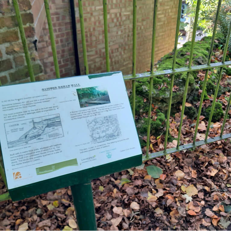
Welcome to Caistor! This bustling market town is a gateway to the Lincolnshire Wolds National Landscape. Caistor’s history is fascinating, including becoming a Roman fortified town. It was surrounded by a wall, part of which is visible on this walk.
The town is centred around a Market Place where you will see the statue of a magnificent lion sitting on top of a water pump which was erected in 1897 to celebrate Queen Victoria’s Diamond Jubilee.
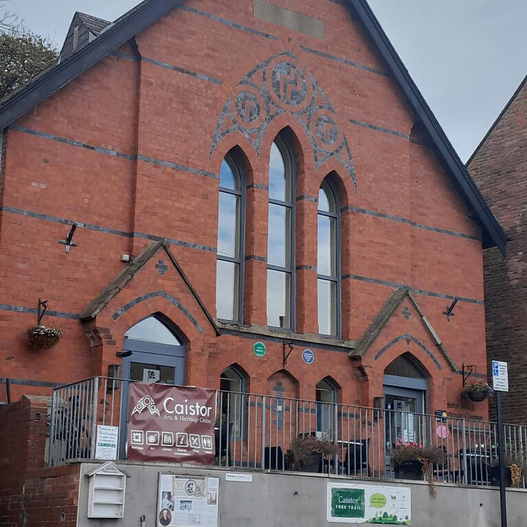
There are many charming Georgian and Victorian buildings and part of the town is a Conservation Area. The Arts & Heritage Centre is located in a converted former Methodist chapel and houses a library, exhibitions and a café.
The Viking Way runs through the middle of the town and this walk will use the section between Nettleton and Caistor.

- 1Leave the Market Place downhill along Plough Hill, signed Viking Way.
- 2At the Arts & Heritage Centre turn right along Fountain Street.
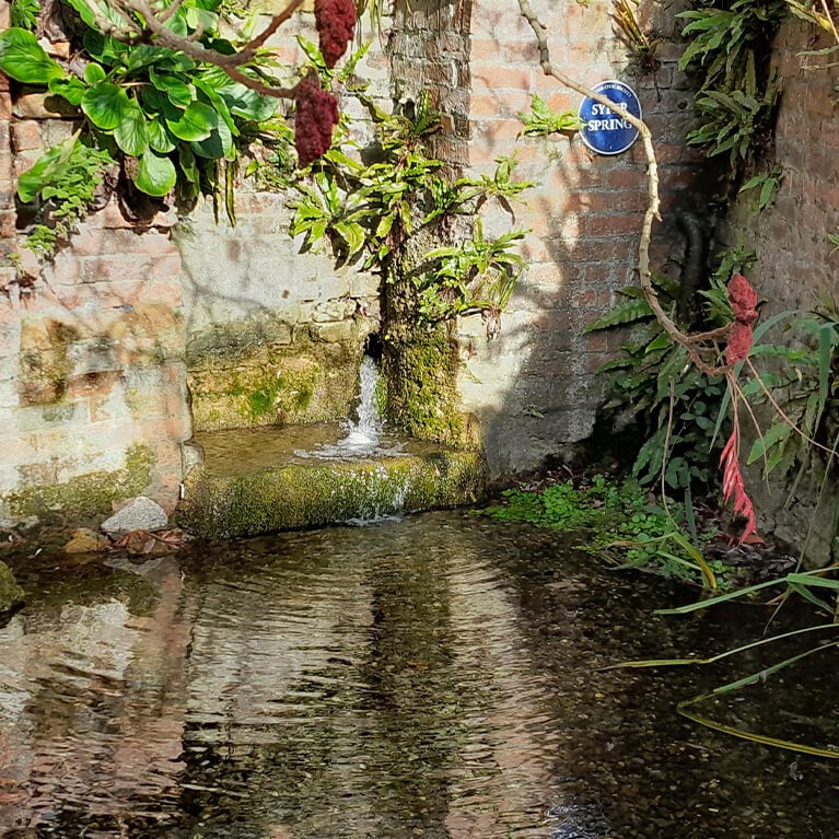
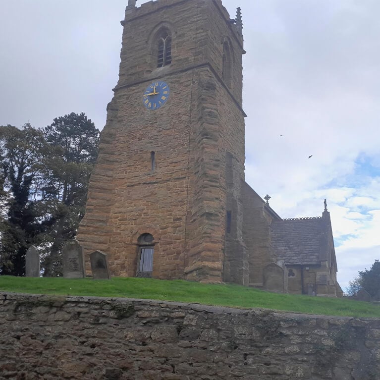
- Walk past Syfer spring and at the junction with Westbrooke Grove turn right and then left up some steps and walk straight ahead along the edge of the church yard. Walk past the remains of the Roman Wall and at the road turn left, downhill.
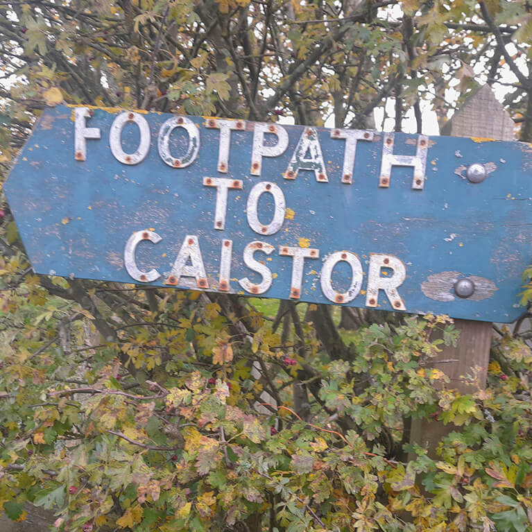
- 3At the T-junction turn right along Navigation Lane, leaving the Viking Way. At the end of the houses where the road bends to the left continue straight ahead along a track which turns into a footpath next to a hedge.
- 4At the end of the hedge and a junction of paths turn left and walk around the field edge. At the second signed junction of paths turn left and follow field edge.
- 5At the field corner go through the gate and bear left. Follow the path straight ahead, through another gate, across a field and turn right over a bridge.
- Turn left to a path junction. Bear left, to the left of the brick building, walk straight across the field, over a bridge and towards houses (Nettleton village).
- At the road walk straight ahead along a tarmac path between houses to the main road (A46).
- 6Turn right, cross the busy road with car and walk straight ahead along Church Street, signed Nettleton and Normanby.
- 7Turn left along Mansgate Hill, signed Rothwell, and joining the Viking Way to return to Caistor. Follow the road for approximately 150m.
- 8Bear left onto a footpath signed Caistor and the Viking Way. Go through the gate and bear left to walk beside the fence before bearing right across the field to a gate.
- Continue along field edges and through three gates before going through a gate and over a bridge and bearing right along the field edge and then between hedges to a surfaced path.
- 9Turn left along the surfaced path along the bottom of the road embankment.
- Cross the busy road (A46) with care and turn left downhill.
- 10Turn right onto Nettleton Road, signed Caistor. Follow this road all the way back to the Market Place.
The route uses roadside pavements, tracks and field paths. There are no stiles. You may encounter livestock.
nearby walking routes
things to do in the area
Laceby Manor Spa & Golf Resort
The Cheese Shed @ Cote Hill Farm
Back 2 Bear Outdoor Activities
Kugae Gundogs & Sporting Antiques
Lincoln & Witham Landscape Recovery
Red Hill & Stenigot Birdwatching
Willingham Forest & Linwood Warren Birdwatching
Edge of the Lincolnshire Wolds – Market Rasen to Caistor Cycle Route
Edge of the Lincolnshire Wolds – Market Rasen to Wickenby Cycle Route
