walking
Viking Way
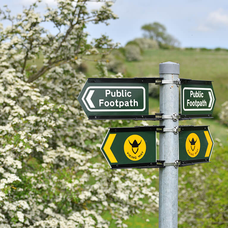
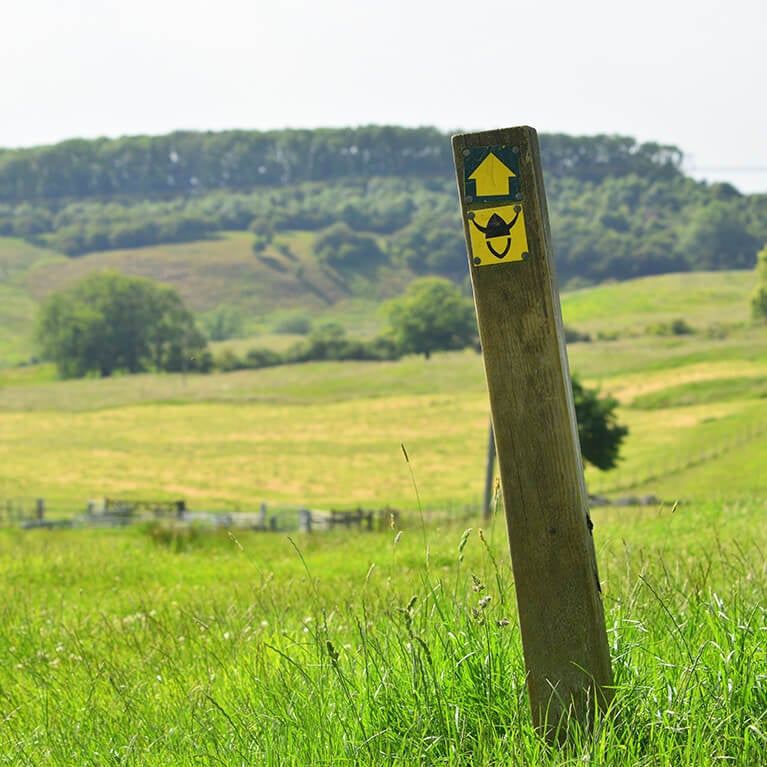
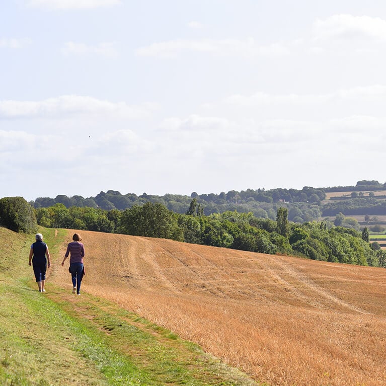
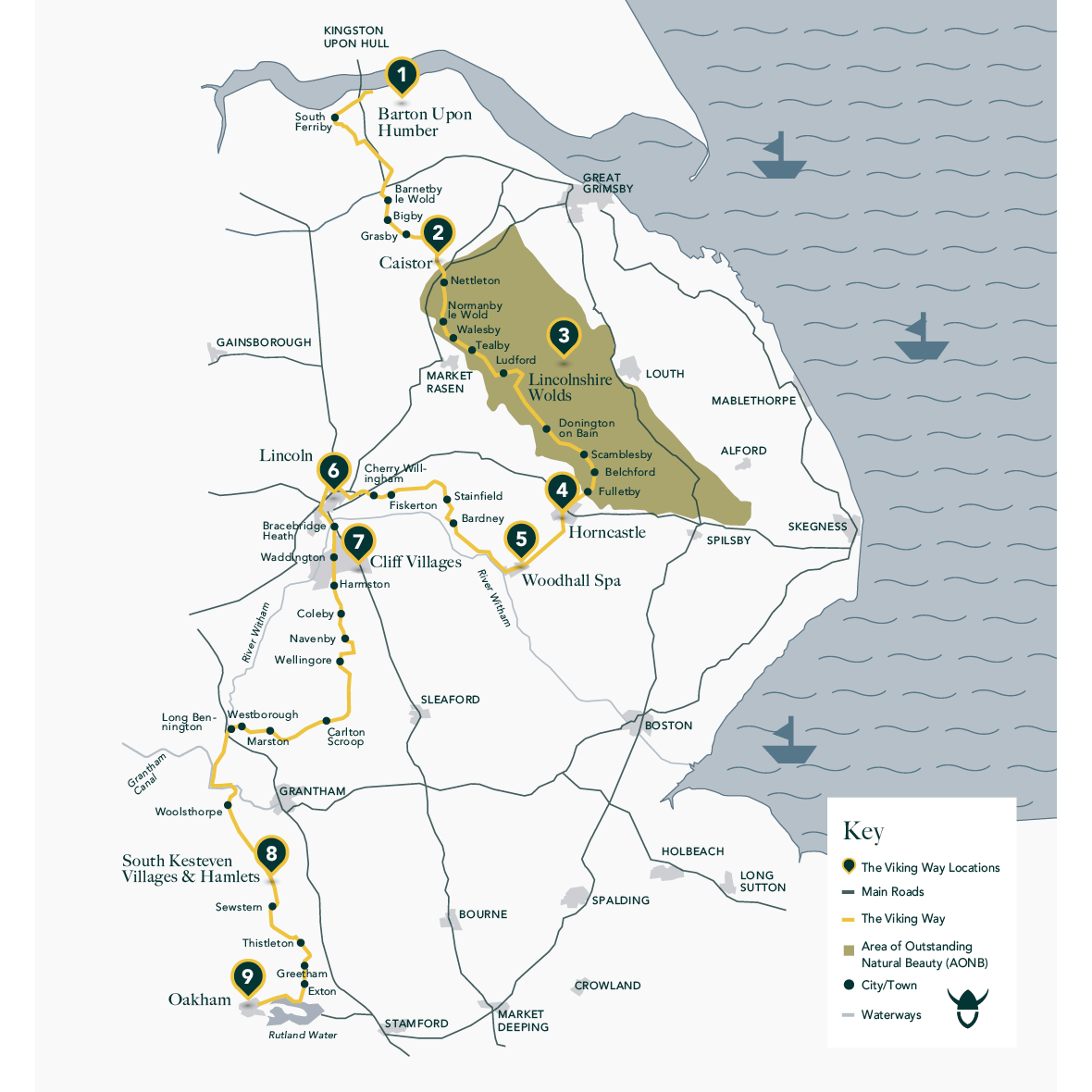
The Viking Way is a 149 mile long walking route through Lincolnshire, Leicestershire and Rutland. The route opened in 1976 and its name recognises the influence of the Norse invaders on the east of Britain. The route is clearly marked with the recognisable viking helmet on the yellow disc. The complete route can be divided into 13 separate walks or if you are looking for shorter circular walks try the Viking Way shorts which use parts of the larger route.
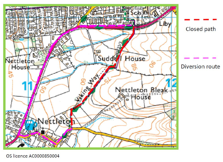
From the 23rd June the Viking Way will be closed between Caistor and Nettleton while improvement works are carried out. The map below shows an alternative route.
Viking Way sections
Viking Way 01 Barton On Humber To Barnetby Le Wold Walk
Viking Way 02 Barnetby Le Wold To Caistor Walk
Viking Way 03 Caistor To Tealby Walk
Viking Way 04 Tealby To Donington On Bain Walk
Viking Way 05 Donington On Bain To Horncastle Walk
Viking Way 06 Horncastle To Bardney Walk
Viking Way 07 Bardney To Lincoln Walk
Viking Way 08 Through Lincoln Walk
Viking Way 09 Lincoln To Wellingore Walk
Viking Way 10 Wellingore To Marston Walk
Viking Way 11 Marston To Woolsthorpe Walk
Viking Way shorts
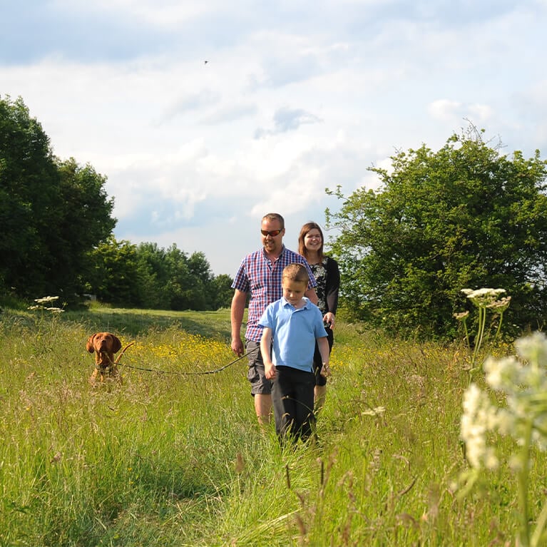
You don’t have to go the full distance to experience the Viking Way. Discover local history and wildlife when walking the Viking Way Shorts. These circular trails use part of the larger route and are filled with heritage, nature and scenic views.
walks that use part of the Viking Way
Enjoy walking routes that use some sections of the Viking Way as well as venturing into other picturesque areas nearby.
Belchford A Walk For All Seasons
Belchford In The Shadow Of Juicetrump Walk
Fulletby In The Footsteps Of Roman Legions Walk
Goulceby & Asterby In The Footsteps Of Kolkr Via Red Hill Walk
Goulceby & Asterby In The Footsteps Of Kolkr Walk
Horncastle Fulletby & West Ashby Walk Long
Horncastle, Fulletby & West Ashby Walk Short
Market Rasen A Route With A View Via Claxby Wood Walk
Market Rasen A Route With A View Walk
Nettleton In Ore Of Our Past Walk
Stainfield & Apley Foxhall Wood Walk
Stainfield & Apley Hardy Gang Walk Long
Stainfield & Apley Hardy Gang Walk Short
highlight destinations on the Viking Way

Barton Upon Humber
The Viking Way begins at the Humber Bridge viewing area in Barton Upon Humber. Take in the scenery and wildlife sightings along the Humber Bank and inland across Elsham Wolds. Close by is the Waters’ Edge Country Park & Visitor Centre with 110 acres of natural beauty to discover.
Caistor
The Caistor to Tealby section of the Viking Way boasts Lincolnshire’s highest ground and breathtaking scenery. On clear days, you can see Lincoln Cathedral, 20 miles away. Caistor’s attractive market square is a conservation area and has 56 listed buildings dating from the Georgian and Victorian periods.
Lincolnshire Wolds
The route passes through the Lincolnshire Wolds Area of Outstanding Natural Beauty (AONB), a living, working landscape, with woodland, grassland and abandoned chalk pits providing important habitats for rare flowers and wildlife. Enjoy rolling hills, interlocking valleys of streams, picturesque villages and market towns.
Horncastle
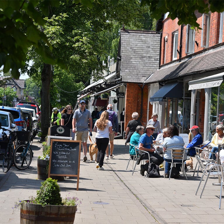
Horncastle is steeped in history and dates back to Roman times and appears in the Domesday Book of 1086. It is a hotspot for antiques and artisan shops as well as galleries, award winning coffee houses, restaurants and cosy traditional pubs.
Woodhall Spa
Woodhall Spa is a bustling village set in woodland. Discover inviting cafés, the picturesque Jubilee Park and the unique Kinema in the Woods for an old-fashioned cinema treat. The Viking Way passes through the area known as the Lincolnshire Limewoods. Britain’s greatest concentration of ancient woodlands containing small leaved lime trees.
Lincoln
The city of Lincoln is a history hotspot dating back to Roman times, follow the route into the city to see the magnificent Lincoln Cathedral and Castle. Explore the quaint cobbled streets of Steep Hill and The Strait down to Lincoln High Street, and out the city to South Common.
Cliff Villages
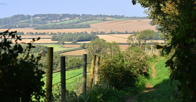
Pass through the Cliff villages including: Waddington, Harmston, Coleby, Boothby Graffoe, Navenby and Wellingore. These timeless limestone communities offer rustic charm and are ideally situated for panoramic views across Lincolnshire and beyond.
South Kesteven Villages & Hamlets
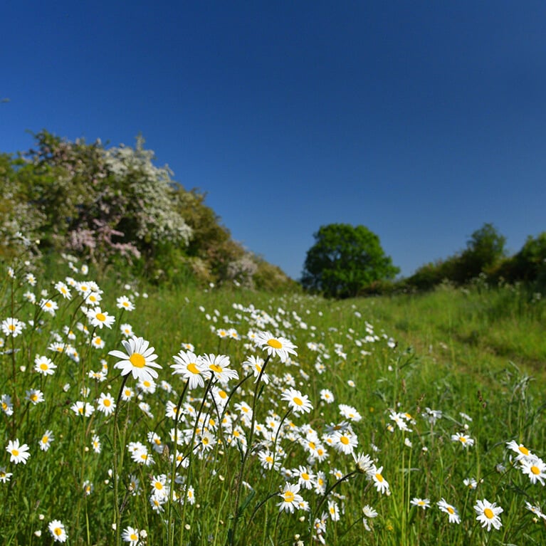
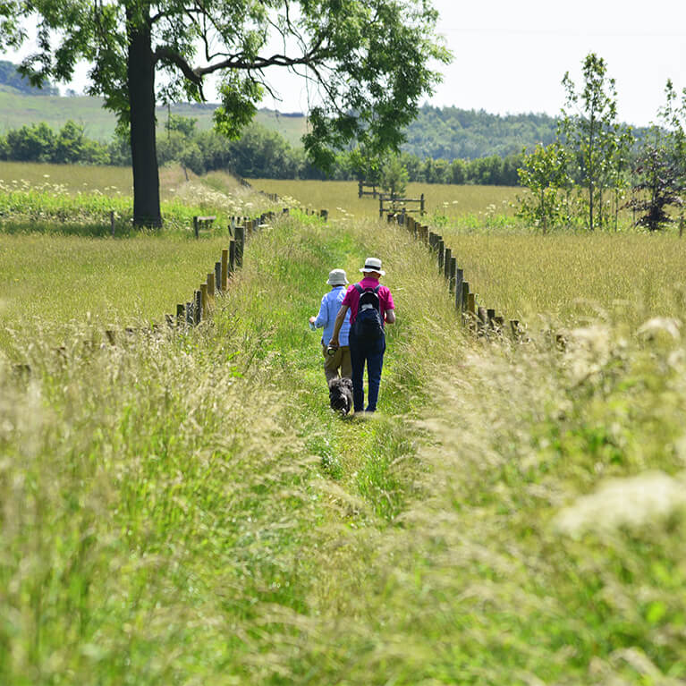
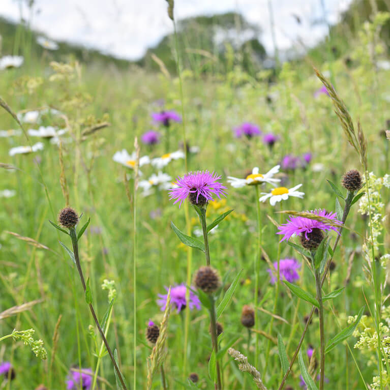
Here the Viking Way uses ancient routes including Ermine Street, Sewstern Lane and The Drift, as well as a section of the Grantham Canal towpath. In summer The Drift is a colourful display of wildflowers.
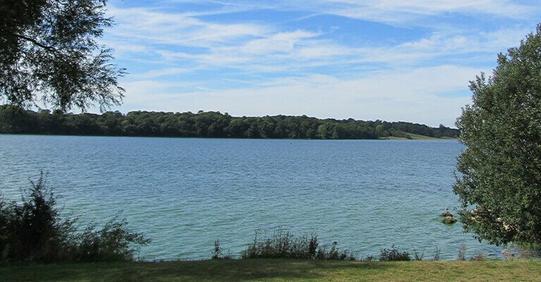
Oakham
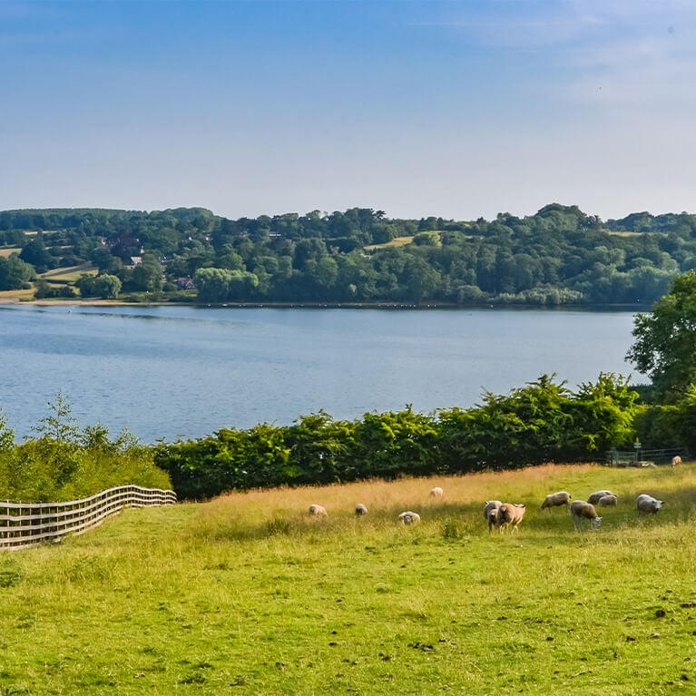
This last section of the Viking Way is through Leicestershire and Rutland. It takes in a number of pretty stone villages before following the shore of Rutland Water to reach the county town of Oakham. Rutland Water is a manmade reservoir with a range of activities available and is home to a a fantastic array of wildlife including ospreys.
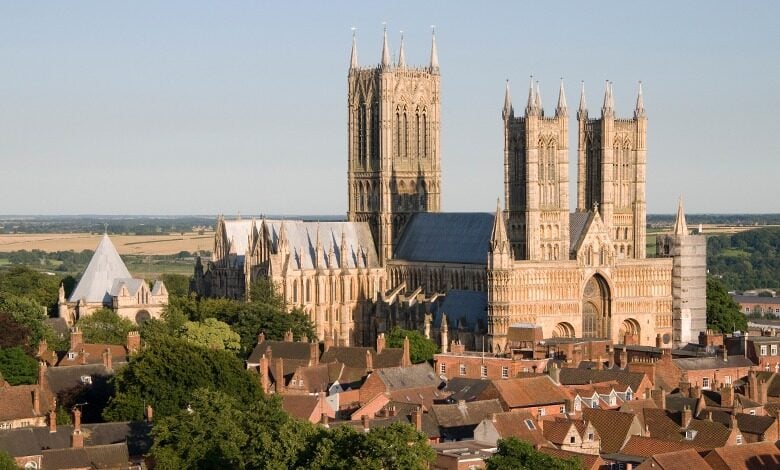
Lincoln Cathedral
The route follows a path into the Lincoln Cathedral grounds from the north, down Steep Hill and High Street, and out the city past South Common.
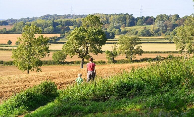
Links to other routes
From Lincoln, the route enters North Kesteven and takes field-paths and lanes past Greetham, Exton and Rutland Water. The trail ends at Oakham where it links with the Macmillan Way and the Hereward Way.
there’s lots more to do nearby
Battle of Britain Memorial Flight Visitor Centre (BBMF)
International Bomber Command Centre
Lincoln Visitor Information Centre
200 Degrees Coffee Shop & Barista School
Horncastle Pool & Fitness Suite
Laceby Manor Spa & Golf Resort
Lincolnshire Aviation Heritage Centre
Lincolnshire Llama Cleethorpes
Medieval Maze and Victorian Splendour Cycle Route
Meridian Leisure Centre, Louth
Stokes Barista Training Centre
The Cheese Shed @ Cote Hill Farm
Back 2 Bear Outdoor Activities
Bain Valley, Belmont Mast, Biscathorpe Lake Birdwatching
Bardney Woods & Wetlands Birdwatching
Covenham Reservoir Birdwatching
Langton’s Cafe at Lincoln Castle
Lincoln & Witham Landscape Recovery
Lincoln Medieval Bishops’ Palace
Messingham Sand Quarry Birdwatching
Messingham Sand Quarry Nature Reserve
Red Hill & Stenigot Birdwatching
South Ormsby Estate Birdwatching
South Ormsby Estate’s Lincoln Red Beef
The Authentic Bierkeller Lincoln
Whisby Nature Park Birdwatching
Willingham Forest & Linwood Warren Birdwatching
Woodhall Airfield and Kirkby Reserves Birdwatching
Woodhall Spa Airfield Nature Reserve
‘Tails’ of the Riverbank Cycle Route
Caistor Arts and Heritage Centre
Catkin Flowers Nature Connectedness Workshops
Edge of the Lincolnshire Wolds – Market Rasen to Caistor Cycle Route
Edge of the Lincolnshire Wolds – Market Rasen to Wickenby Cycle Route
Giant Lincoln Bike Shop at Doddington Hall
Historic Lincoln & Surrounding Area
In Search of the Lost Don Cycle Route
Iron and Agriculture Cycle Route
Lincolnshire Road Transport Museum
Lincolnshire Wolds Cycle Route
Mysteries of the Marshes Cycle Route
Sandhills and Windmills Cycle Route
more walking in the county
Chapel St Leonards – Coastal Country Park Walks
Gibraltar Point Nature Reserve
Film and TV location Walking Tour with Stamford Sights and Secrets Tours
Laceby Manor Spa & Golf Resort
Lincolnshire Llama Cleethorpes
Stamford Sights and Secrets Tours
The King Charles III England Coast Path
Lincoln & Witham Landscape Recovery
Mumby to Hogsthorpe – Coastal Country Park Walks
