Things to look out for
Tick off the landmarks and points of interest you spot along this route as you go.
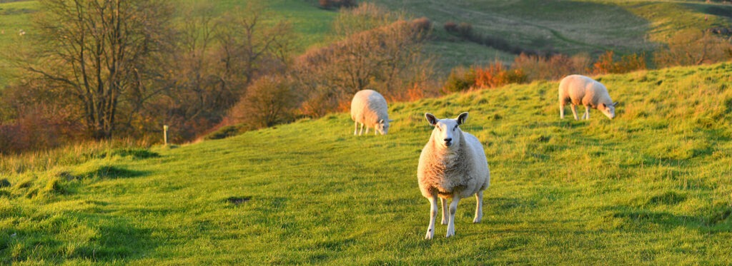
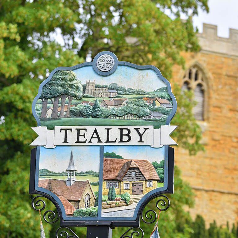


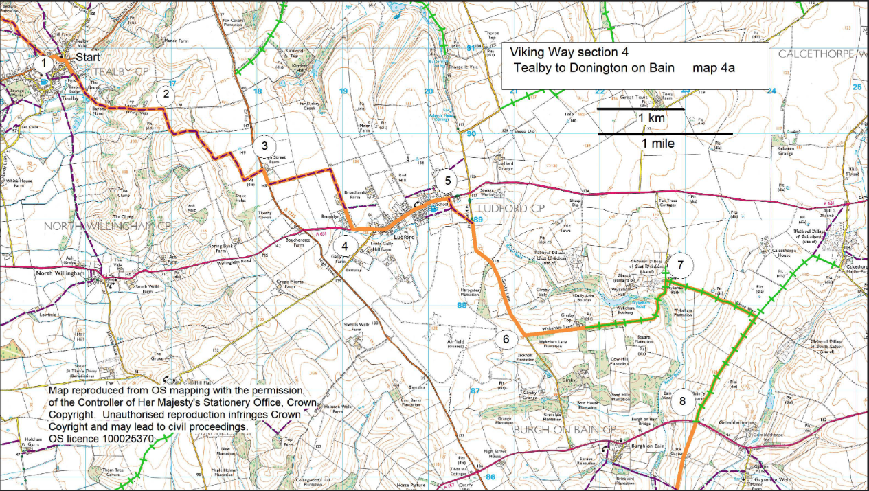
- 1Walk down Beck Hill past the Village Shop. Continue straight on over the ford and follow the footpath out of the village. Follow the track across the parkland of the former Bayons Manor.
- 2Approx. 300m past Top Lodge (near the top of the hill) turn right onto a footpath and follow it around the field edge for approx. 600m before following the path by turning right and keeping the hedge ahead on your right. Follow this path for another 600m and then follow it as it turns to the right. Keep the hedge on your left and at the end of the hedge turn left to the road. Cross the road with care.
- 3Turn right. After approx. 200m turn left onto a public footpath and follow it straight ahead along the edge of three fields before turning right to follow the path to reach the road (A361) in Ludford.
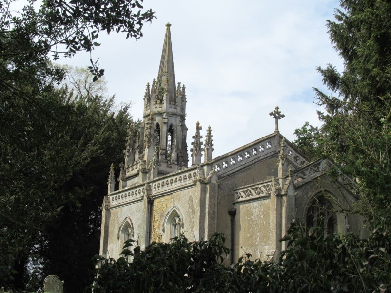
- 4Turn left and walk through the village for approximately 0.75 mile (1.2 kilometres), passing the White Hart Inn and St Mary’s and St Peter’s church.
- 5Turn right onto a public footpath and follow it as it crosses the field straight ahead and then bears left to join the road. Turn right and follow the road for approximately one mile (1.6 kilometres).
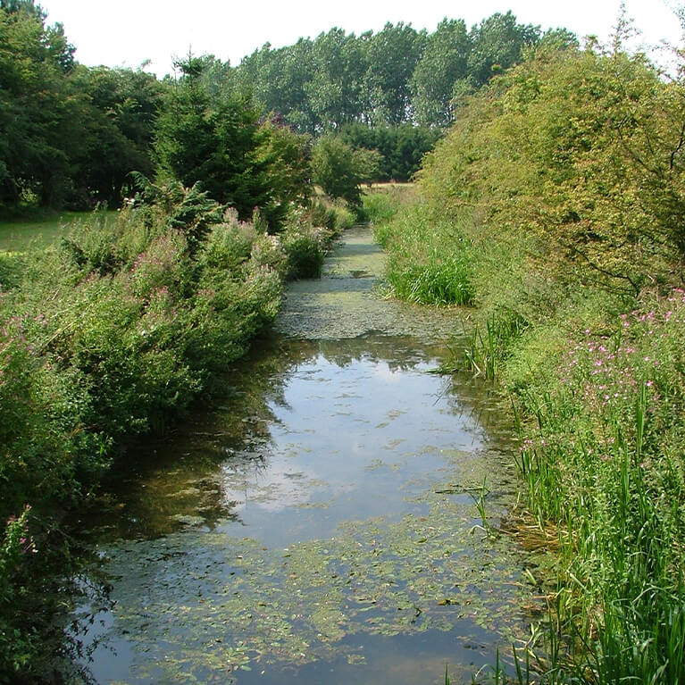
- 6Turn left along the road to Girsby Top. Follow the road as it becomes a bridleway, crosses the River Bain and arrives at East Wykeham, in all approx. 1.25 miles (two kilometres).
- 7Turn right onto a bridleway adjacent to the first houses on the right. Follow it for approx. 0.75 miles (1.2 kilometres) to a junction with another bridleway. Turn right and follow it to the road (A157). Cross the road with care.
- 8Continue straight ahead along the lane. Follow it for approx. 0.75 miles (1.2 kilometres) to a small woodland on your left.
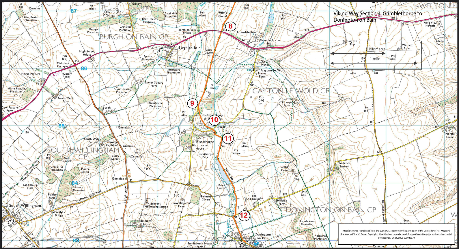
- 8Continue straight ahead along the lane. Follow it for approx. 0.75 miles (1.2 kilometres) to a small woodland on your left.
- 9Bear left onto a public footpath. Follow the path across the field towards to the right of the church and towards a bridge, crossing the site of Biscathorpe deserted medieval village.
- 10Cross the river and bear left in front of the house and church and follow the churchyard wall to a gate. Turn left to a bridge and cross the River Bain.
- 11Turn right and follow the path along field edges for approx. one mile (1.6 kilometres), past a lake, to reach a road.
- 12Turn right and then left at the junction to walk into Donington on Bain.