Walk
Loop
3.75miles
(6.04km)
2 hours

Walking

Ancaster Walk Three

Ancaster

Ancaster is steeped in history and there is evidence of a prehistoric settlement. It is probably best known as a site of a Roman Town. There is a choice of three circular walks in and around Ancaster and Sudbrook using field paths, tracks and quiet lanes. This route is shown in orange on the map.

Starting point
Playing field and Social Club car park
off Ermine Street
Ancaster
NG32 3QW

  • Linked to Public TransportLinked to Public Transport
  • RefreshmentsRefreshments
  • Dog FriendlyDog Friendly

SCENIC, TRAFFIC-FREE ROUTE THROUGH BEAUTIFUL WOODLAND AND ROLLING COUNTRYSIDE

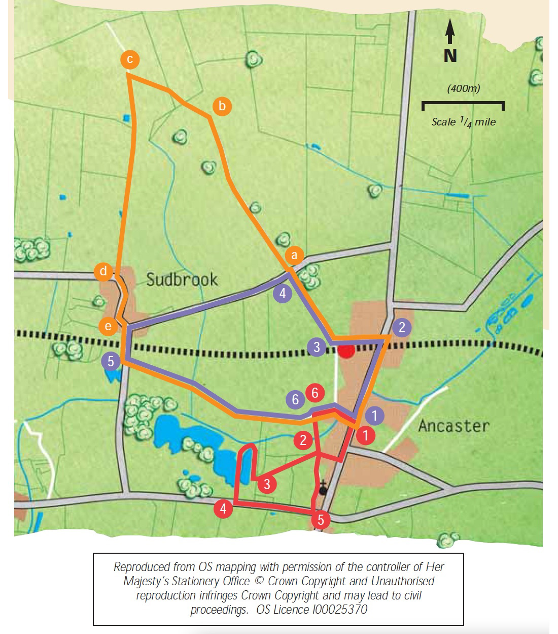
This walk is set in the attractive countryside around the historic town of Ancaster.
The town has a long and important history dating from the prehistoric period. An Iron Age settlement developed into an important Roman town on Ermine Street, the Roman road linking London, Lincoln and the Humber. Ancaster sits on the County’s limestone backbone, known as the Lincolnshire Edge. Limestone has long been quarried in the local area and the stone, known as Ancaster stone, widely used for building and carving, including at Belton House and Lincoln cathedral. Look out for the Roman trail signs around the town which describe points of interest, including the statue of the three goddesses on the church wall.

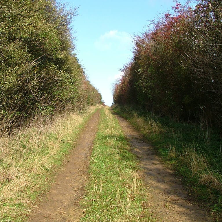
Hedges are important for wildlife, especially in an agricultural landscape. They provide nesting sites, shelter and food for birds, shelter and a corridor for movement for small mammals, and because many hedge plants flower and come into leaf early in the year they provide food for a variety of insects. Look out for birds such as chaffinches, blue tits and black birds.

  • 1Leave the car park and turn right through the village along Ermine Street for about 800m, and under the railway bridge.
  • 2Turn left immediately after the bridge and follow the lane up the side of the Railway Inn and past the railway halt.
  • 3At the level-crossing turn right. Climb the hill to a junction. Turn round to admire the views over Ancaster village and beyond.
  • aCross the road and continue on in the same direction along a farm track.
  • bFollow the track as it bears left. Go through the gap in the hedge and continue ahead to a second hedge. Walk through the gap in this hedge and continue in the same direction across the field. Watch out for aircraft from the nearby RAF Cranwell.
  • cAt the edge of the field turn left and follow the hedgelined track as it descends into Sudbrook village.
  • dAt the road turn left and walk through the village, passing the former public house “The Masons Arms”.
  • eAt the road junction with a grass triangle follow the road to the right and over the level crossing.
  • 5Cross the level-crossing, then take the public footpath on the left into a large field known as The Sands. Follow the wide path across the field and then onto a track. At a junction with another path turn left and follow the path along the track to the Old School. At the junction turn right. At the junction with Ermine Street turn right to return to the starting point.

This walk uses field paths, tracks and quiet roads.

There are no stiles on this walk and you are unlikely to encounter livestock.
The railway is crossed once at a level crossing.

more information

Playing field and Social Club car park

off Ermine Street

Ancaster

NG32 3QW