Walk
Loop
6.7 miles
(10.78 km)
3 hours

Walking

Viking Way Shorts Buckminster Walk

Buckminster

Add to favourites

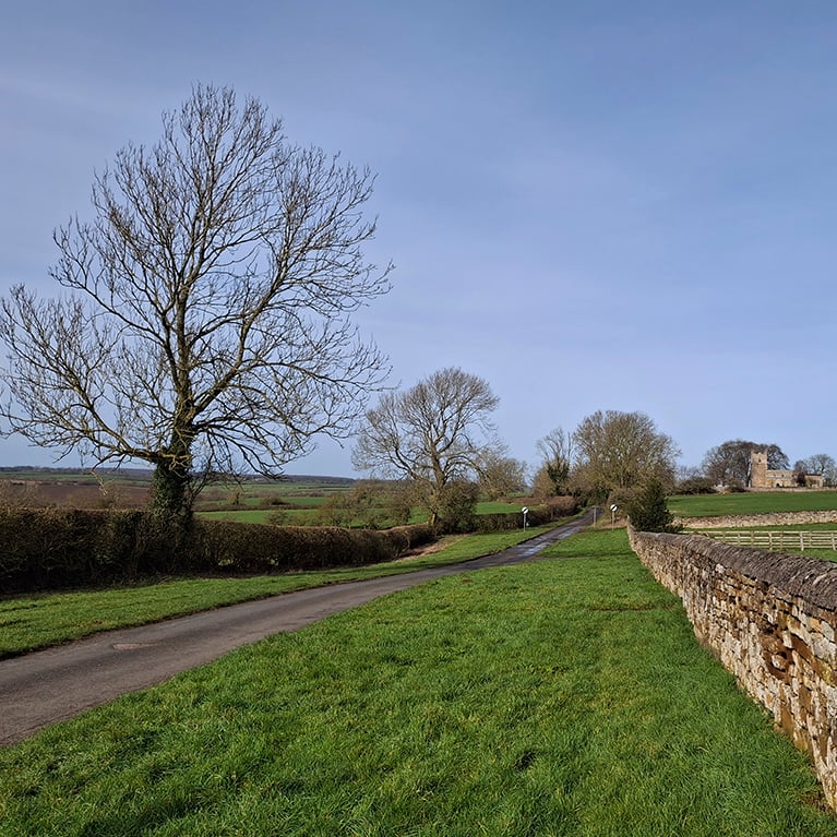
The walk starts from Buckminster, a small Leicestershire village sitting in lovely undulating countryside. On this circular walk you will explore the local countryside and neighbouring village of Sproxton. You will walk on the site of a WW2 airfield and follow part of the Viking Way along an ancient drovers’ route.

Starting point
Parking at: The Coffee Barn
Back Street
Buckminster
Grantham
NG33 5RS

Grid ref: SK 879 230
what3words.com

Overflow parking only please on Buckminster Village Green.  Refreshments can be found at the beginning or end of your walk in Buckminster. There is also a village shop in Buckminster.

  • cafe--tea-room--iconCafe / Tea Room
  • parking--iconParking

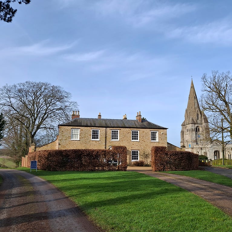
Buckminster is a picturesque village on the border of Leicestershire and Lincolnshire.  Many of the attractive houses were built as Estate housing.  The grand parish church of St John the Baptist dates from as early as the 13th century, being improved and restored in Victorian times.

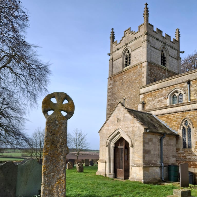
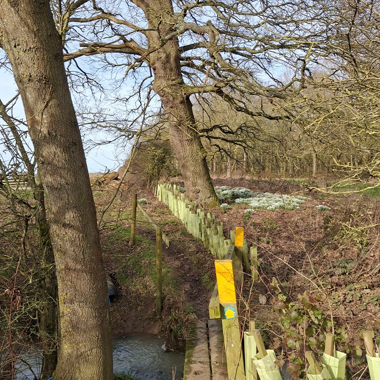
The Church of St Bartholomew, Sproxton dates from the 13th and 14th century.  Look out for the splendid stone grotesques and animal corbels in the nave and the Sproxton Cross in the churchyard, rediscovered being used as a bridge to cross a nearby stream.

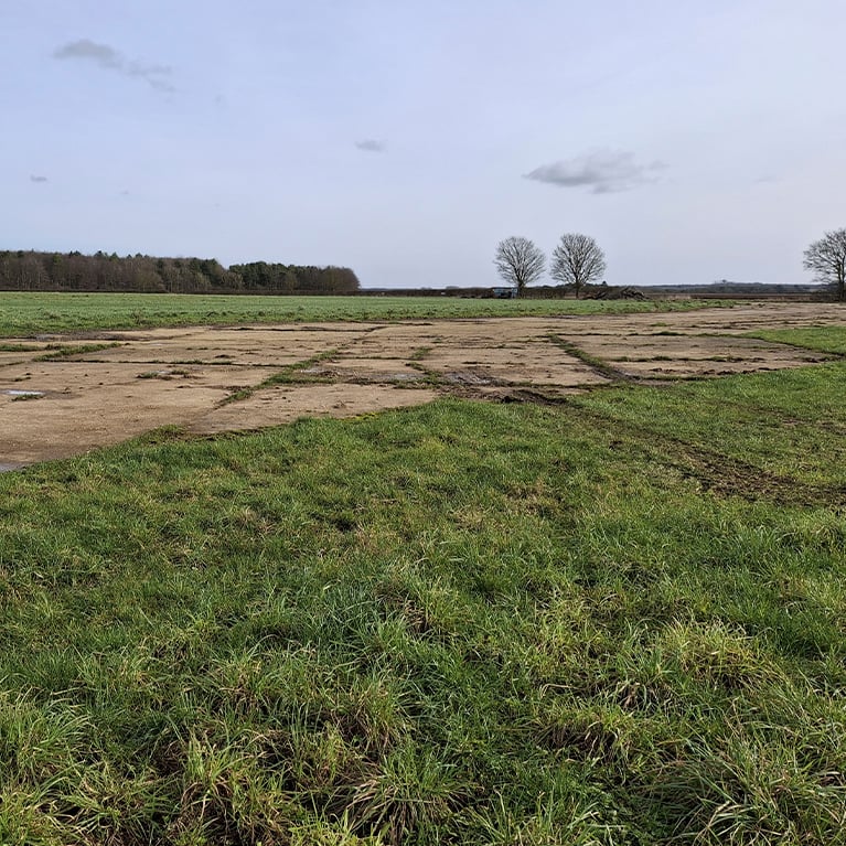
As you leave the village of Sproxton, look out for gliders from the Buckminster Gliding Club, now operating from RAF Saltby.  The airfield was built in 1941and played a key role in WW2. Towards the end of the war, it became a USAAF base from where paratroops were flown into Normandy as part of the D-Day landings.

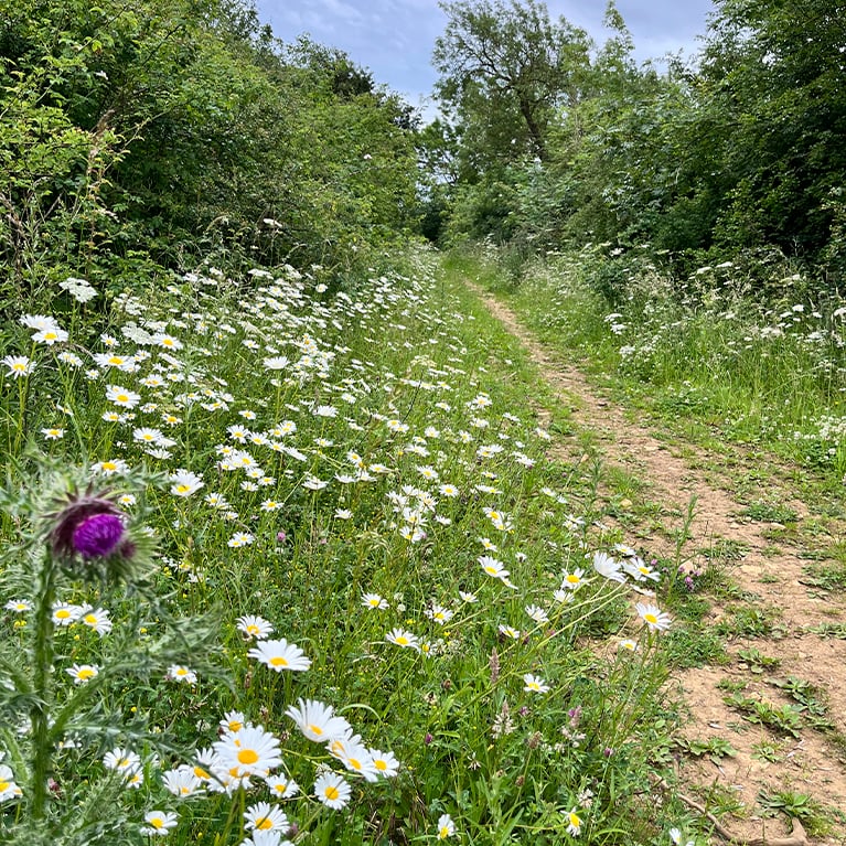
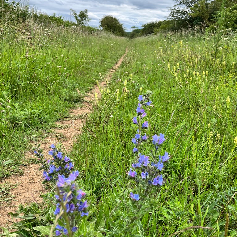
The walk follows the Viking Way along a section of The Drift (also known as Sewstern Lane), a route with pre-historic origins used as a drove way tracing the county boundary between Lincolnshire and Leicestershire.


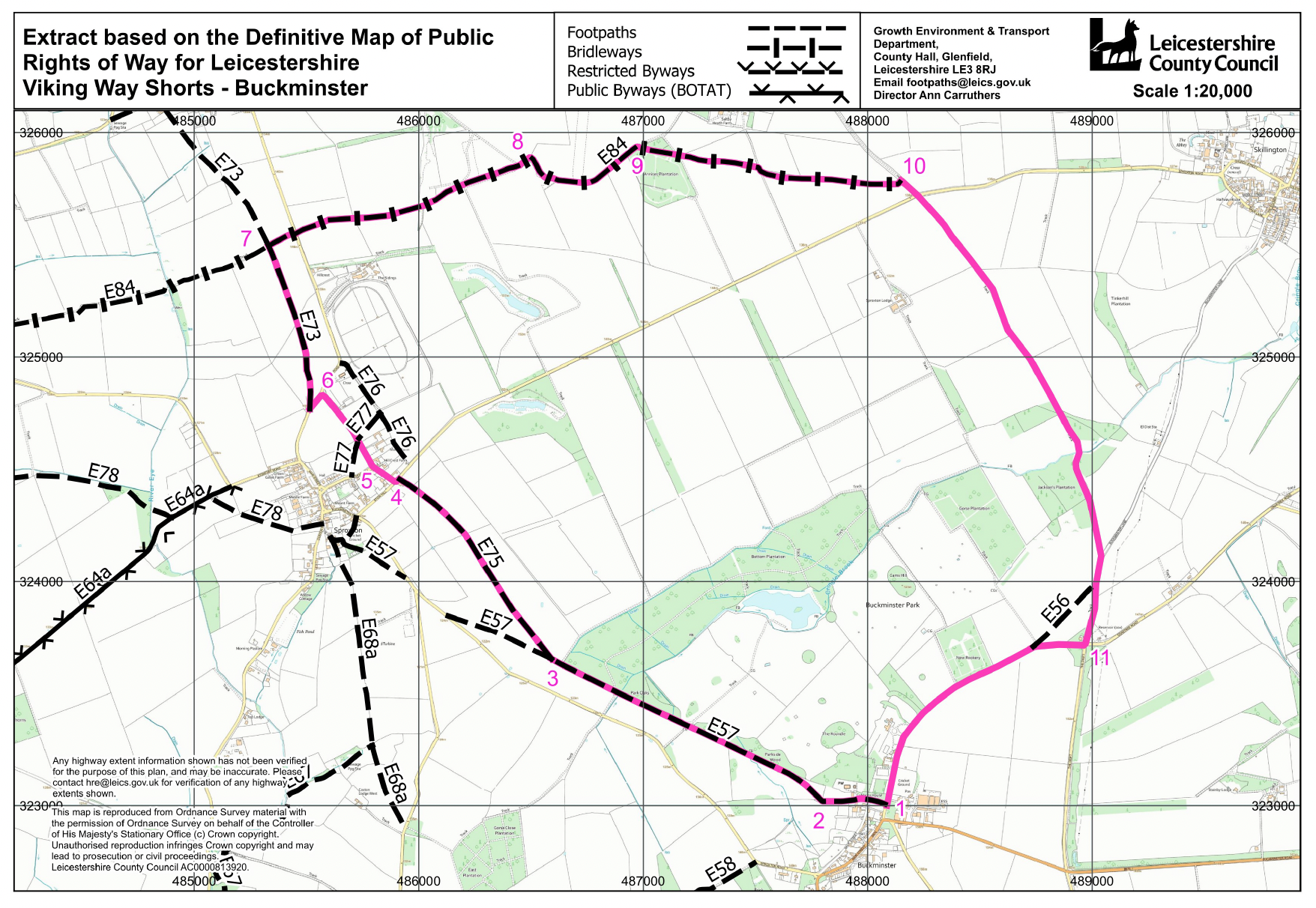
  • 1Start at the north end of the village by following the grassy track between the The Vicarage on your right and the Coffee Barn on your left.
  • 2Through the gate at the end of the track, continue in the same direction for approximately 1km along the edge of the parkland, through two more gates and across a small stream to a gravel track.
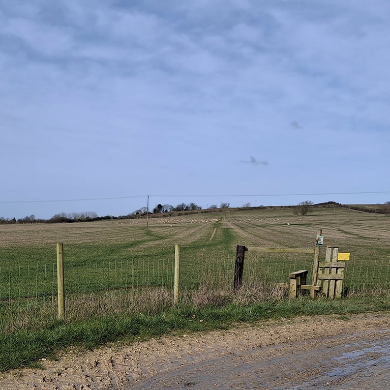
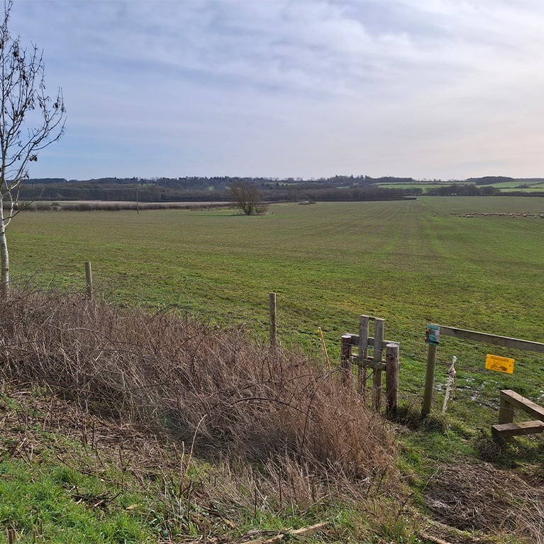
  • 3As the track turns right, take the footpath straight on, climbing a stile with dog gate. Ignore the path to the left and continue gently rising over open pasture.
  • 4On reaching the village of Sproxton, take a slight dog-leg left along Church Lane to a small triangular green.
  • 5From here, continue along Church Lane to the church sat prominently on the hill.
  • 5At the church turn left for approximately 80m and take the footpath on the opposite side of the road looking for the distant telegraph poles as a guide. Cross one stile to reach the bridleway.
  • 7Turn right along the bridleway and then continue straight across the road.
  • 8As you approach the airfield pass a large barn and look out for a right turn near the solar panels. Continue along the concrete apron of the airfield.
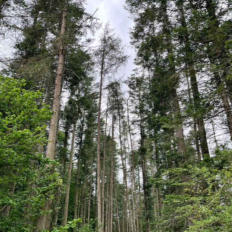
  • 9Take a right turn along the footpath through a plantation. On leaving the plantation, cross the track and continue in the same direction across fields managed for wildlife with the Skillington church spire in the distance.
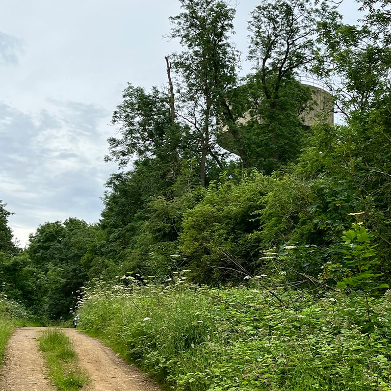
  • 10Turn right along the Viking Way and follow this for approximately 2.3km until you reach the water tower.
  • 11Turn right at the water tower and follow the road back into Buckminster.

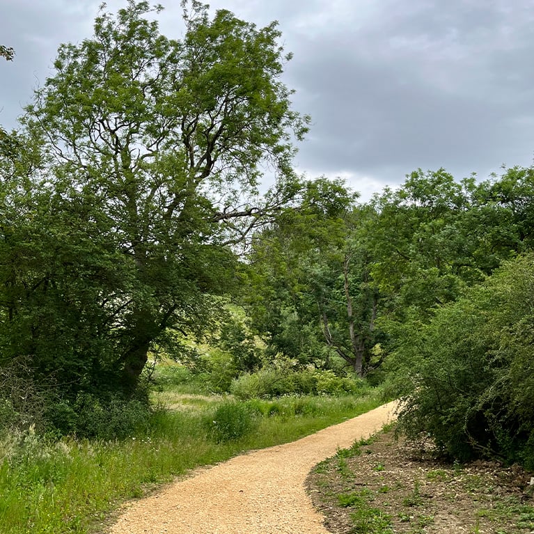
The walk uses village paths, field paths and quiet lanes, which may be muddy and uneven in places. You are likely to encounter livestock and stiles on this walk.

more information

Starting point

Parking at: The Coffee Barn

Back Street

Buckminster

Grantham

NG33 5RS

Grid ref: SK 879 230