(7.24km)
15 mins
Walking
Ruskington One River Walk Long
Ruskington
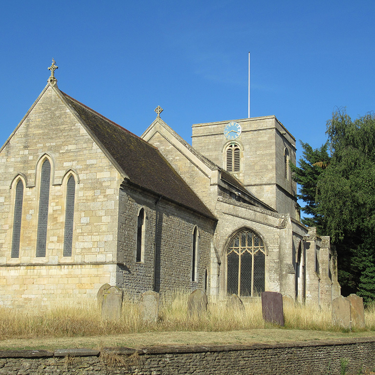
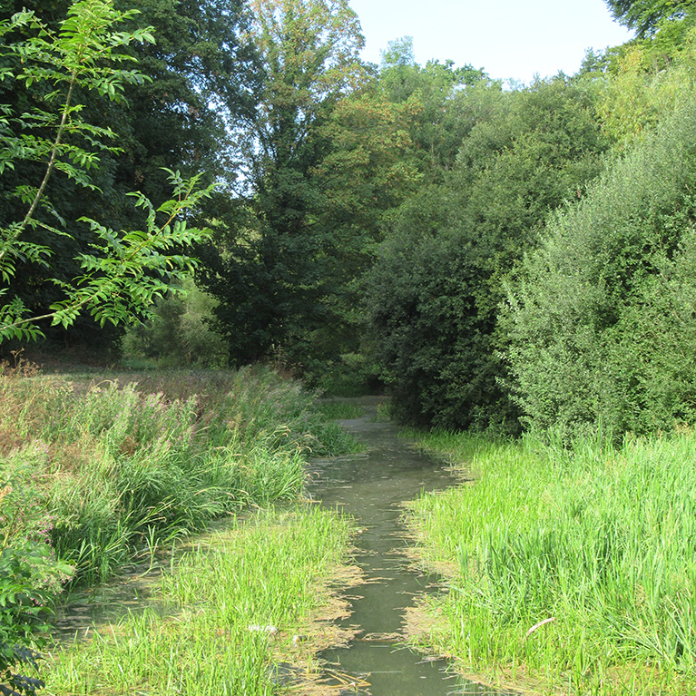
Ruskington is one of Lincolnshire’slargest villages and has a large stream known as The Beck running through its centre. The place name Ruskington is derived from the Old English ‘riscen’ meaning ‘rushy, growing with rushes’ and ‘tun’ meaning ‘a farmstead, village’.
The ‘-sk-‘ is due to Scandinavian influence. All Saints’ church dates to the twelfth century with thirteenth and fifteenth century additions and alterations. Some of the stained glass dates to the fourteenth century. The tower was restored in 1620 following the collapse of the spire and the whole church restored and the chancel rebuilt in 1885.
This walk offers the opportunity to explore the village and the surrounding countryside.
Walk location: Ruskington lies 30 km (19 miles) south-east of Lincoln and 6 ½ km (4 miles) north of Sleaford.
Starting point: All Saints’ church at the junction of Church Street and High Street North
Ruskington
NG34 9EH
Grid reference: TF 082 510
Parking
Linked to Public Transport
Refreshments
Dog Friendly
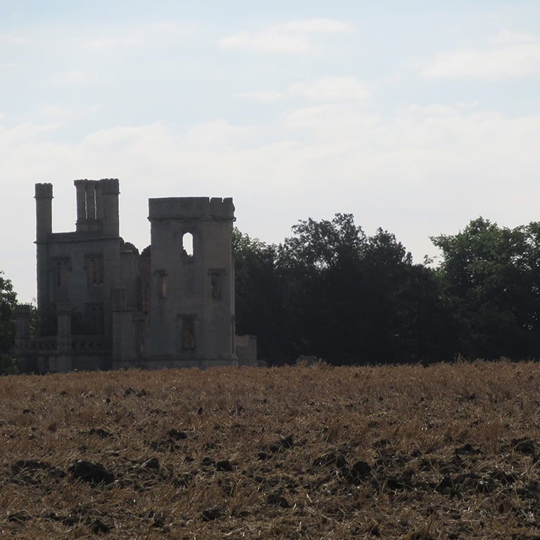
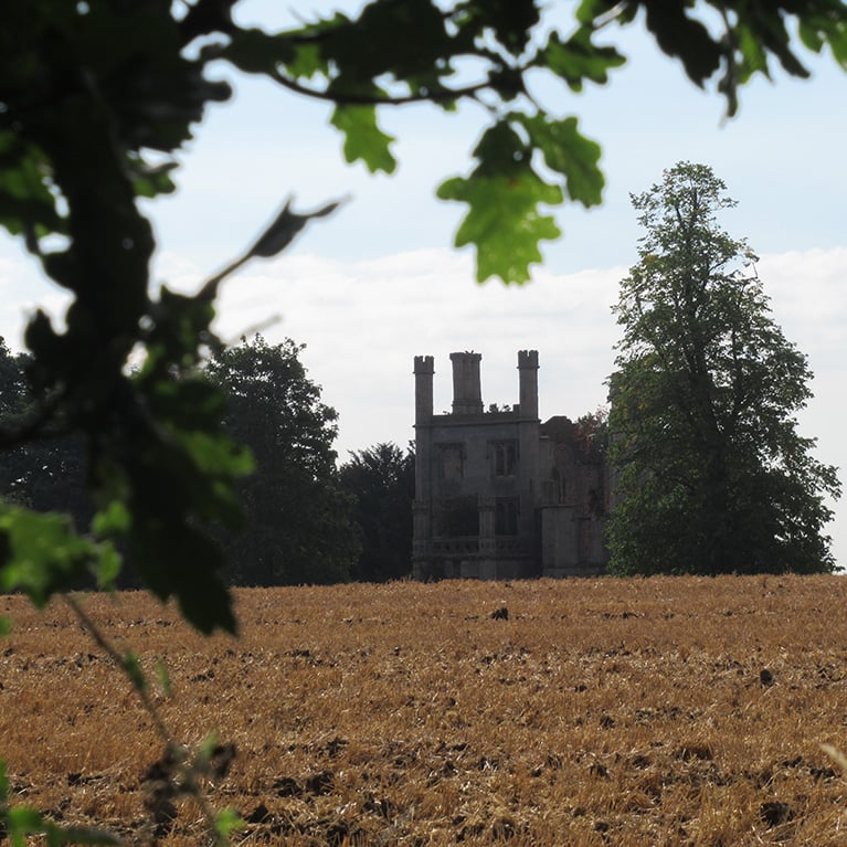
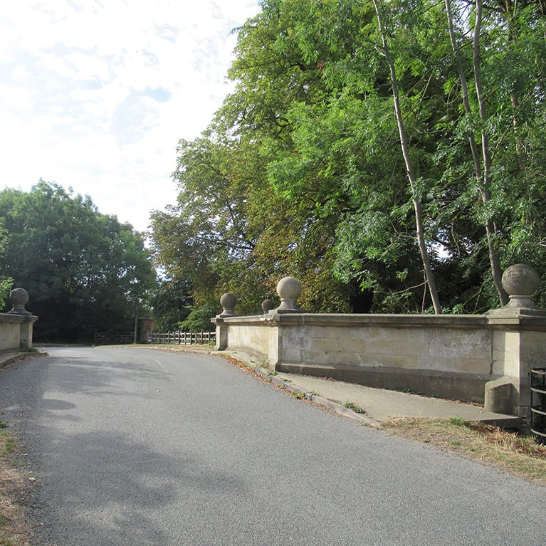
Look out for the remains of Haverholme Priory House. Only the tower remains of the Tudor style house which was built in 1835 on the site of a Gilbertine Priory. It was demolished in 1927 when no one could afford to buy it. The Gilbertine Priory on the same site was founded as a double house in 1139 when nuns, lay sisters and lay brothers were sent from Sempringahm by St Gilbert to occupy buildings erected on a marshy island in the river near Sleaford.
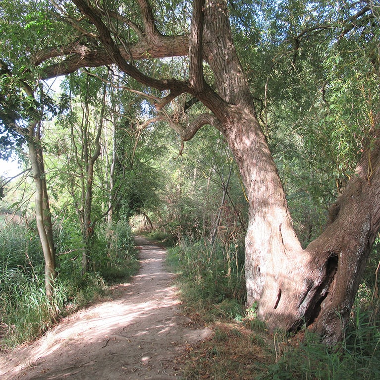
In 1791 the cost of making the Slea navigable was put at £9979, and by 1793 £16000 was raised in shares and loans to complete the work. In May 1794 the Sleaford Navigation was opened, it was 12 ¼ miles long with seven locks. It is now a wonderful place to walk and watch wildlife. Look out for grey wagtails, swans, coots and moorhens on the water and buzzards soaring high overhead. In warmer weather butterflies and other insects fill the air
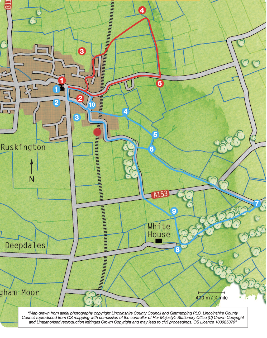
- 1Facing the church gate, turn left along Church Street to a mini roundabout.
- 2Turn left along Station Road.
- 3After approximately 350m and after passing Chestnut Street, take the public footpath signed on the left. Pass the school and cross the blue railway footbridge. Walk straight on between a fence and hedge and at the field bear slightly right to the field corner and bridge.
- 4Cross the bridge, turn right and the path opens out into a field, keep left and walk alongside the hedge and enter the next field through a gap in the far hedge. Bear slightly right across the next field to a gate and track.
- 5Turn right along the track, to a junction with a restricted byway.
- 6Turn left along a restricted byway to a main road (A153). Cross this busy road with care and walk straight on along the lane to Haverholme bridge.
- 7Cross the bridge and turn right, walk across the car park and follow the footpath alongside the river. At the lock and weir cross the two bridges and turn left to continue alongside the river but on the opposite bank.
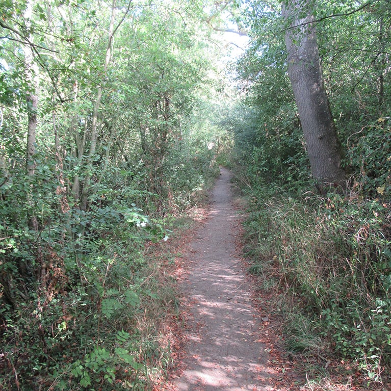
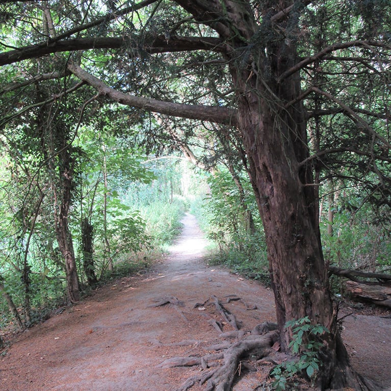
- 8After approximately 800m (1/2 mile) and at a fence and sign turn right and then almost immediately right into a wooded area. Continue through the woodland and then walk straight across the field to a bridge.
- 9Cross the bridge and turn left along the edge of the stream. Cross a second bridge and track and follow the footpath diagonally right across the next field, heading for the light-coloured buildings in the distance, to the main road. Cross the road with care and follow the lane opposite into Ruskington.
- 10Turn right along Chestnut Street and at the T-junction turn left to return to the start.
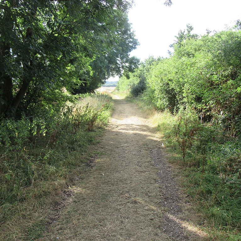
The walk uses pavements, roads, field paths and tracks. The busy A153 is crossed twice. There are no stiles. You may encounter livestock.
more information
Starting point: All Saints’ church at the junction of Church Street and High Street North
Ruskington
NG34 9EH
Grid reference: TF 082 510
things to do in the area
Battle of Britain Memorial Flight Visitor Centre (BBMF)
Dogdyke Steam Drainage Station
Metheringham Airfield Visitor Centre
Sleaford Tourist Information Centre
Crazee Bongos Indoor Play Centre
RAF Digby Lima Sector Operations Room
Cranwell Aviation Heritage Museum
Giant Lincoln Bike Shop at Doddington Hall
Historic Lincoln & Surrounding Area
Lincolnshire Road Transport Museum
Poacher Line Railway Station Walks
