(7.24km)
Walking
Ropsley Walk Two Short
Ropsley
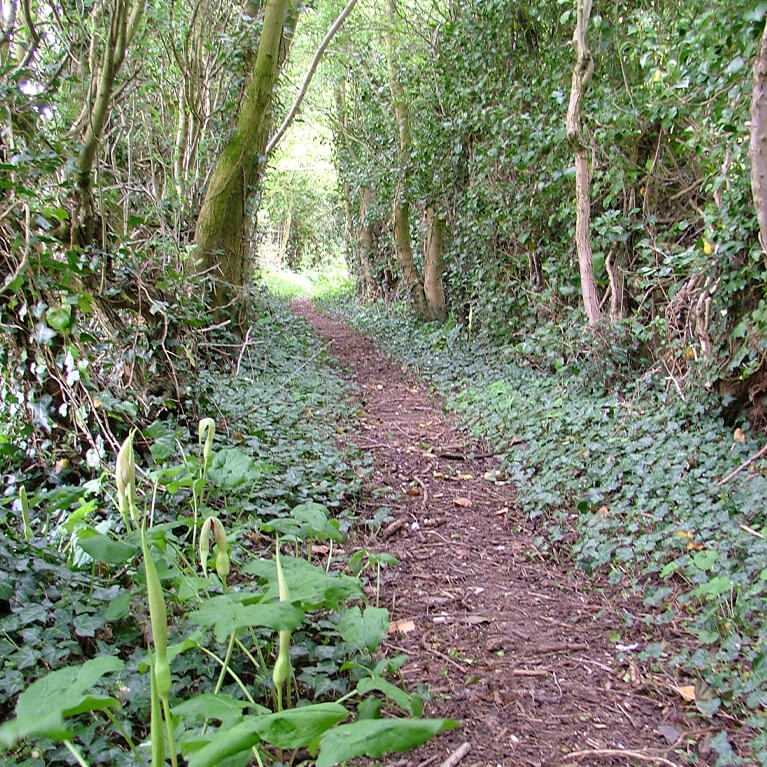
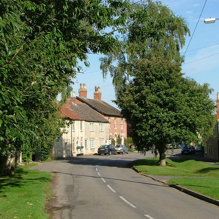
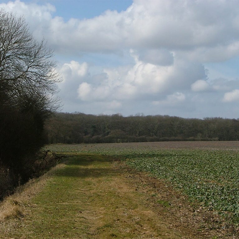
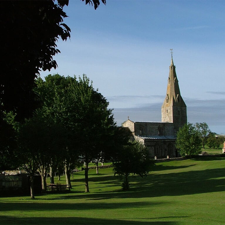
A lovely walk taking in the pretty villages of Ropsley and Humby and the attractive undulating landscape between. The walk uses part of a Roman road and passes the remains of a medieval fishpond.
Starting point
Ropsley Village Hall
Braceby Road
NG33 4BN
Grid reference SK 993 346
Linked to Public Transport
Refreshments
Dog Friendly
The parish of Ropsley includes areas of limestone heathland and boulder clays. The name Ropsley could be based on a personal name with the second part ‘leah’ meaning open place in woodland.
The limestone heathland in the north-east part of the parish is good arable land while the boulder clays in the south-west has more woodland and pasture.
As you walk through the undulating landscape you will come across evidence of past human settlement and activity. Activity in the area dates back to prehistoric times.
Pond Row, next to the War Memorials, was once the site of the village pond, known locally as the Mop Hole. The memorial was erected in 1920 by public subscription. In 1940 the railings surrounding the memorial were removed to support the war effort.
Little Humby has its origins in the medieval period and possibly earlier. The small village has a large village green and a ford. The Old Manor House overlooks the green and dates back to 1631.
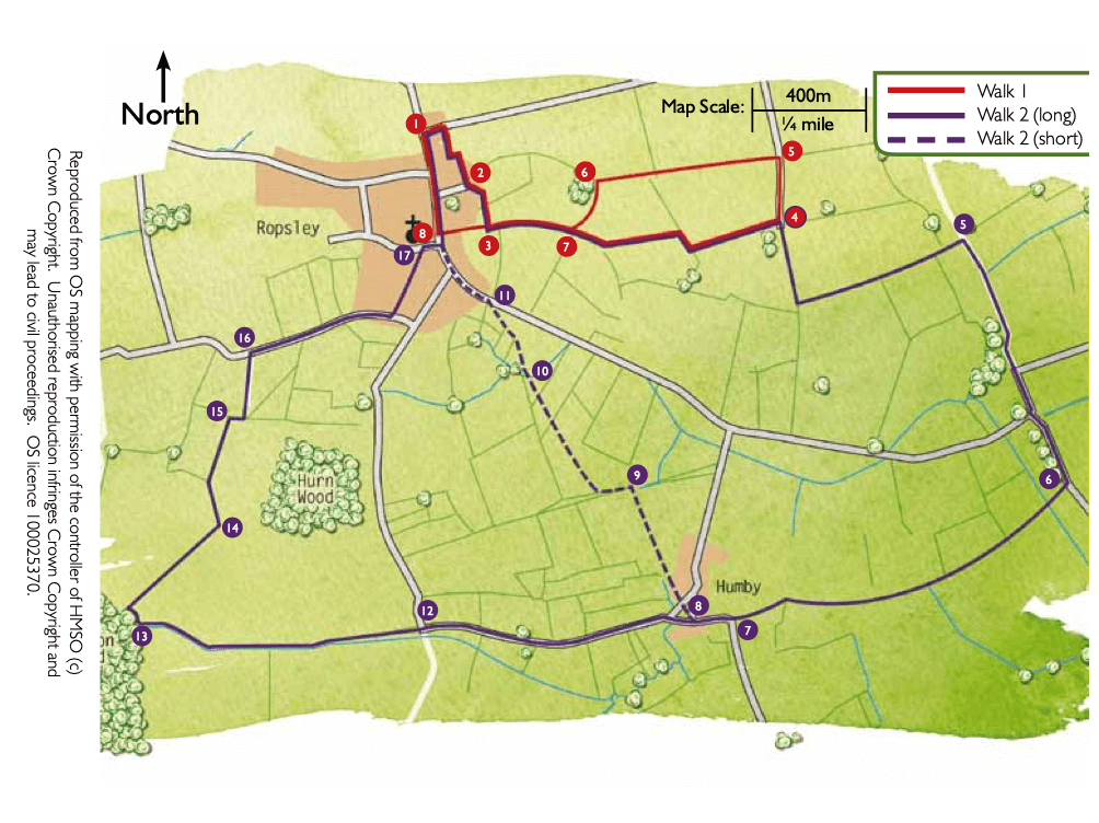
- 1Leave the car park, turn left and after about 70m turn right into Angel Court. Follow the road round and then walk between two rows of bungalows to a gate in a panel fence onto a path, once an ancient drove way.
- 2Turn left and at the top of the road take the public footpath in the right-hand corner. At the field turn right and walk along the field edge to a junction with another footpath.
- 3Turn left and after approximately 300m, at a junction of paths, turn right and follow the track alongside the hedge. Continue along the track as it bends left. Follow the track as it turns right and then left to an area of trees and farm buildings.
- 4Turn right and at the next field corner turn left to continue to follow the track.
- 5At the junction with a restricted byway turn right and follow the track to a road. Follow the road straight ahead and at the junction bear left, signed Hanby.
- 6After approximately 400m turn right onto a public footpath. Cross the bridge over the East Glen River and continue straight on along the field edges. At the end of the fields bear left and walk between hedges to a road.
- 7Continue straight ahead along the road into Little Humby village.
- 8At The Green bear right and cross The Green to the public footpath on the far side, known as Water Lane. After approximately 100m turn right, over a stile, to follow the path into a field. Turn left and follow the field edge to the corner and continue straight on along the edge of the next field to a bridge.
- 9Cross the bridge and turn left to a stile and bridge in the hedge. Bear diagonally right across the next field heading for the largest tree in the hedge. Cross the bridge and bear diagonally left across the field. As you reach the brow of the hill a gate in the next hedge will come into view. Bear right across the next two fields to a stile and waymarker at the field edge.
- 10 Turn right alongside the pond. Cross a bridge and walk straight ahead across a drive to follow the path between a hedge and fence and then on between hedges to a driveway. Turn right to a road.
- 11Turn left and follow the road for approximately 700m through the village before turning right onto Braceby Road to return to the Village Hall.
The walk uses roadside paths, quiet roads, tracks and field paths. You may encounter stiles and livestock.
more information
Starting point
Ropsley Village Hall
Braceby Road
NG33 4BN
Grid reference SK 993 346
