Walk
Loop
2.5miles
(4.02km)
1 hour
15 mins

Walking

Billinghay Walk One

Billinghay

These walks are set in the farmland surrounding the villages of Billinghay and Walcott, with far reaching views across The Fens and to The Wolds on the north-eastern skyline.

The villages sit on a ridge of sand and gravel that originally rose above the surrounding marshes and Fens. Before the draining of the Fens in the 17th and 18th centuries the villages would have been surrounded by water in the winter months as the Fens and marshes flooded. A rich living was maintained through grazing of livestock in the summer months on the flood pasture and from the abundance of fish and wildfowl. Pheasants and Lapwings are just two of the birds you might see as you cross arable fields. The Lapwing is easily identified by its distinctive green-black, iridescent plumage and a long crest. Pheasants were introduced into this country from Asia in the Middle Ages for eating. The males are large and colourful and have a distinctive call when disturbed.

Starting point:
War Memorial, Victoria Street, Billinghay. Grid ref: TF 155 549.

  • Linked to Public TransportLinked to Public Transport
  • RefreshmentsRefreshments
  • Dog FriendlyDog Friendly

The War Memorial, in the centre of the village, was built on the site of the village water pump, a gathering place for villagers before mains water was introduced.

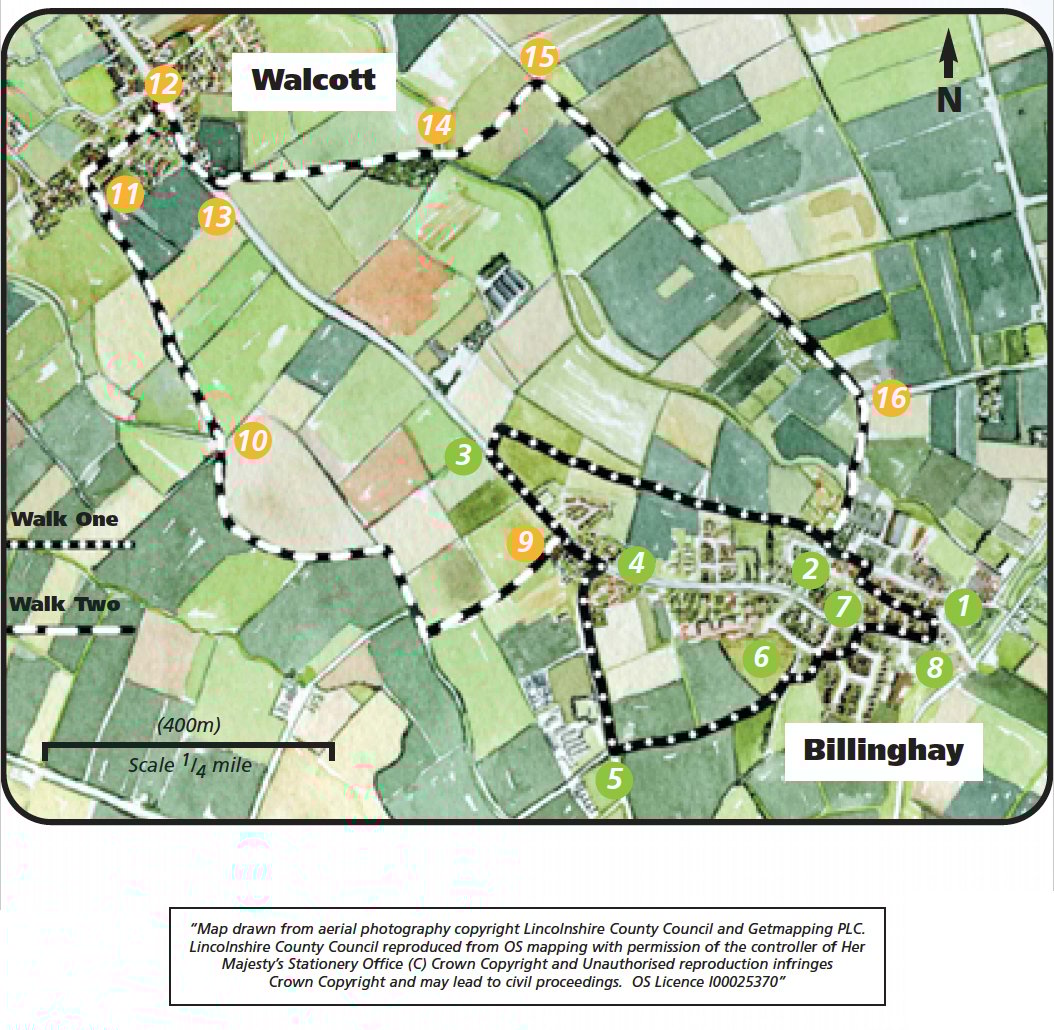
The trig point (between points 2 and 3) marks the highest point around at 13m (43 feet) above sea level, the land dropping away both to the north and south. The high ground in the distance on your right (north-east) is the Lincolnshire Wolds, designated an Area of Outstanding Natural Beauty (AONB) in 1973.

The hedges along this walk contain a number of different species including dog rose, hawthorn and blackthorn. The blackthorns’ thorny branches provide protection for many birds’ nests. The autumnal blue-black berries of the blackthorn, known as sloes, are used to make wine, jams and to flavour gin.

  • 1With your back to the co-op, turn right and walk along Victoria Street to a T-junction with West Street. Turn left.
  • 2At the next T-junction cross the road and follow the public footpath opposite. Follow this path behind the houses and along a field edge. Cross the yard in front of the farm building and bear slightly right across the next field to a concrete trig. point. Bear slightly right across the next two fields, to a bridge. Cross the bridge, turn left and follow the path to the road.
  • 3Turn left and walk into Billinghay.
  • 4Turn right down Mill Lane. Walk past the Fire Station and continue along the roadside pavement.
  • 5Take the second public footpath on the left opposite the road to Digby, and follow the track alongside the hedge. Continue on in the same direction onto the playing field.
  • 6Bear left and walk around the bowling green and behind the Village Hall into the car park. Leave the car park and continue in the same direction to a junction with the High Street, past a village mosaic.
  • 7Turn right onto the High Street.
  • 8Turn left onto Queen Street at the side of The Ship to return to Victoria Street and the starting point.

This walk uses roadside pavements and field paths. There are stiles and you may encounter livestock.

more information

War Memorial

Victoria Street

Billinghay

LN4 4HQ

Grid ref TF 155 549