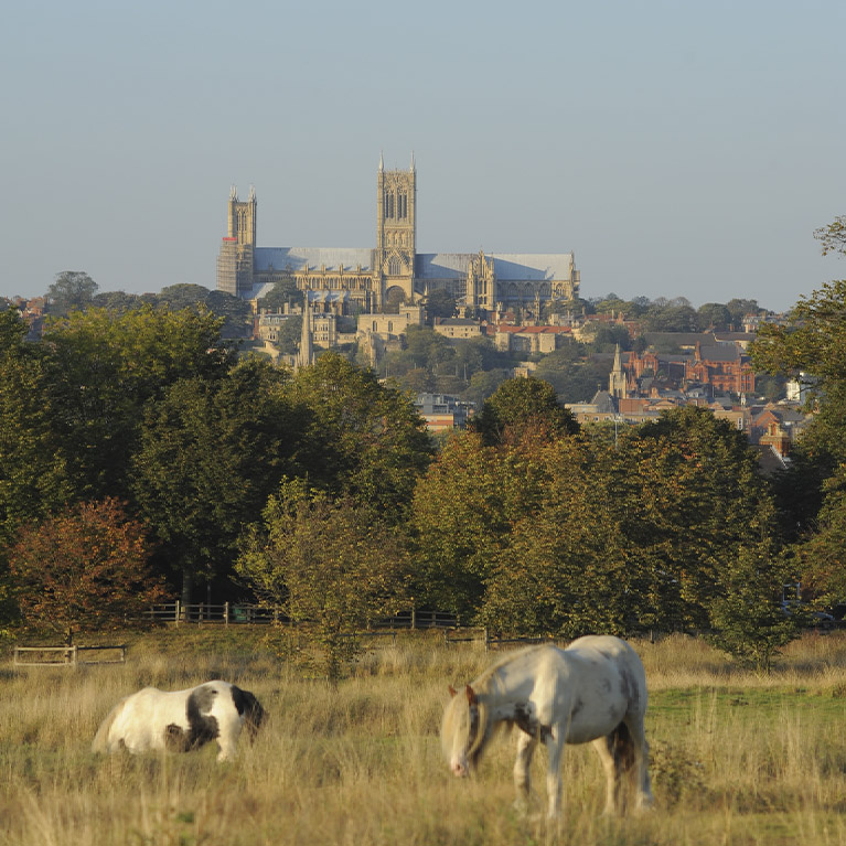
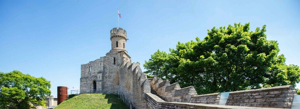
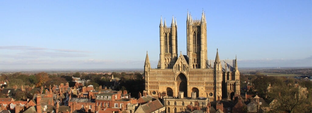
(3.22km)
The ancient city of Lincoln perches dramatically on a hilltop, with its impressively situated cathedral. A steep descent precedes the crossing of the River Witham.
Starting point
Castle Square, Lincoln
Linked to Public Transport
Refreshments
Dog Friendly
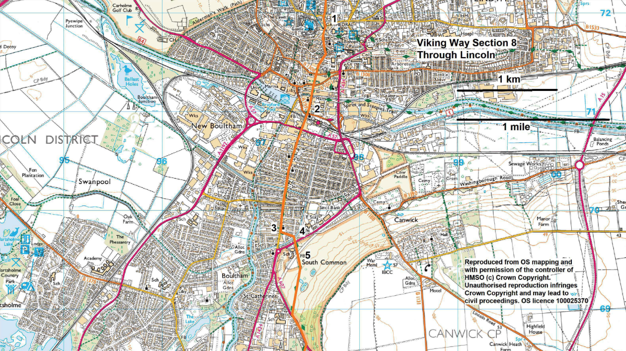
- 1Walk down Steep Hill and continue ahead, as it turns into The Strait and then becomes High Street, a total of approximately 0.6 miles (one kilometre)
- 2Cross the railway line and continue along the High Street for approx. 0.75 miles (1.2 kilometres).
- 3Turn left along Spencer Street and where the road bends left turn right down a cobbled alleyway. Cross the bridge and walk straight ahead to the main road.
- 4Cross the road at the pedestrian crossing and continue straight ahead on the tarmac path between the playground, Queens Park, and school.
- 5Walk through the gate onto South Common and then bear right to walk across the common heading towards a mast that will come into view, to another road (Cross o Cliff Road).
The route uses city pavements and grass path across South Common. There are no stiles, but you are likely to encounter horses on South Common.
nearby walking routes
more about the trail
Viking Way
The Viking Way is a long distance - 147 mile way-marked trail spanning from the River Humber through Lincoln to Oakham in Rutland. The route is signposted with an icon of a Viking helmet on a yellow disk.
things to do in the area
International Bomber Command Centre
Lincoln Visitor Information Centre
Bardney Woods & Wetlands Birdwatching
Lincoln & Witham Landscape Recovery
Lincoln Medieval Bishops’ Palace
The Authentic Bierkeller Lincoln
Whisby Nature Park Birdwatching
Woodhall Spa Airfield Nature Reserve
Giant Lincoln Bike Shop at Doddington Hall
Historic Lincoln & Surrounding Area
Lincolnshire Road Transport Museum