 Parking
 Linked to Public Transport
 Refreshments
 Dog Friendly
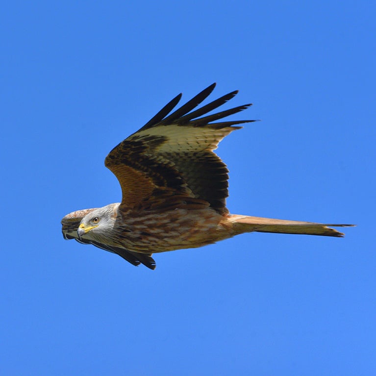
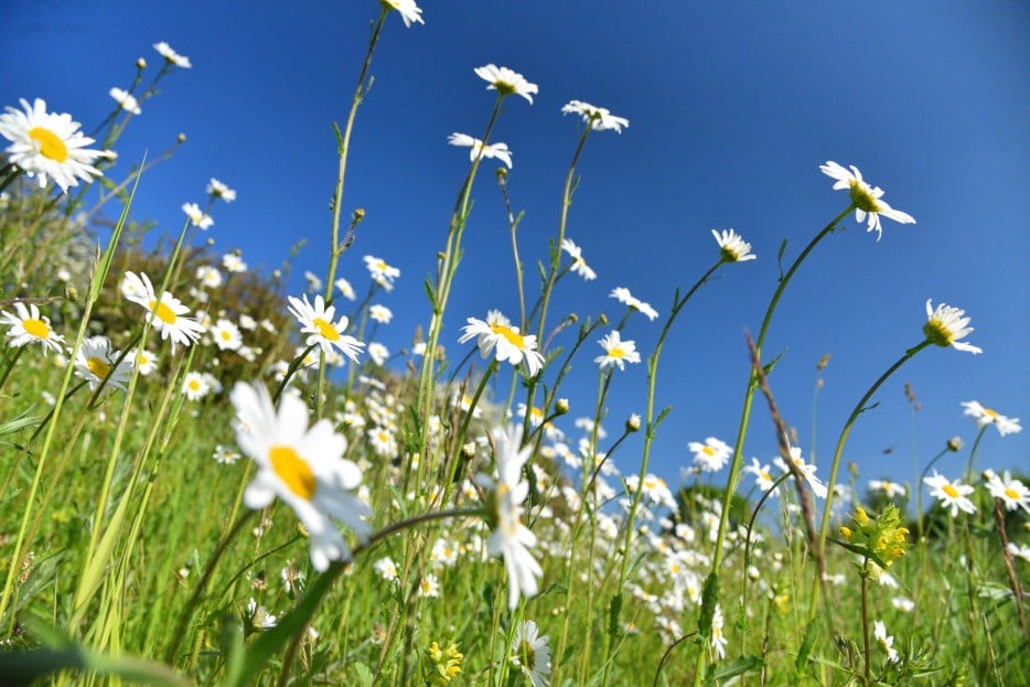
Things to look out for
Tick off the landmarks and points of interest you spot along this route as you go.


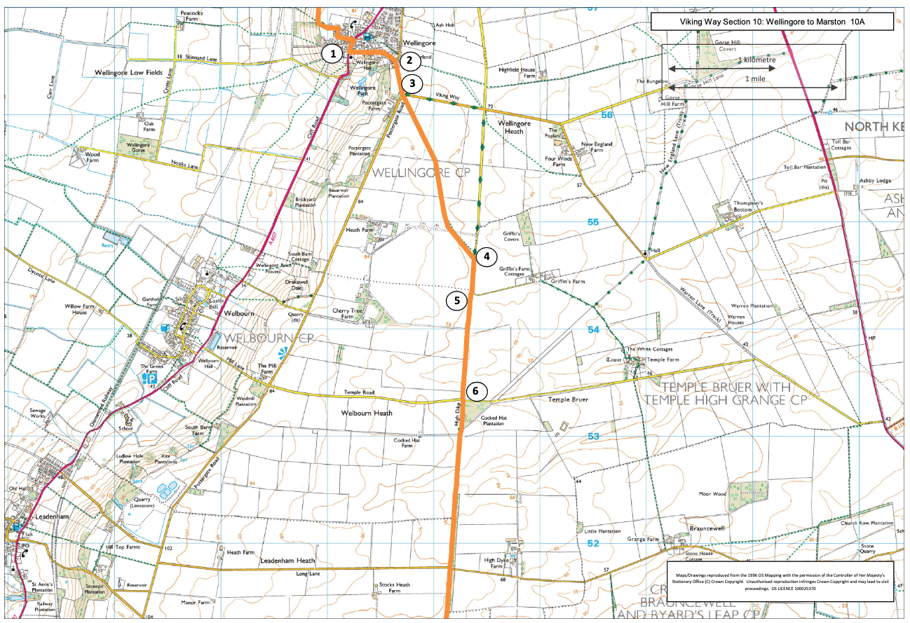
- 1Walk along Sleaford Road.
- 2At the T junction turn right onto Pottergate.
- 3At the next road junction take the footpath on the left that diagonally crosses the field ahead. Cross the fields and after approx. one mile (1.6 kilometres) you will cross a hard surfaced track. Continue in the same direction across one more field to a tarmac lane.
- 4Turn right.
- 5Where the lane bends to the left continue straight ahead on a grass track between hedges. This is Ermine Street.
- 6At a junction with a road, continue straight ahead along the track. Cross another road and continue ahead.
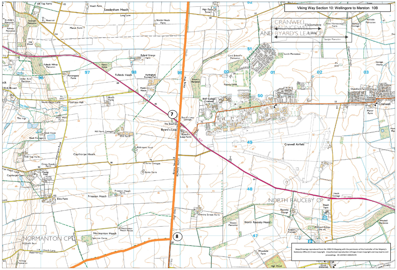
- 7At Byard's Leap and the busy A17 cross the road with care and continue straight ahead, past the garage and café, and walk along the wide verge on the right hand side of the road for approx. 1.5 miles (2.5 kilometres).
- 8Turn right onto a restricted byway. Follow this as it becomes a bridleway and then a footpath and enters the village of Carlton Scroop.
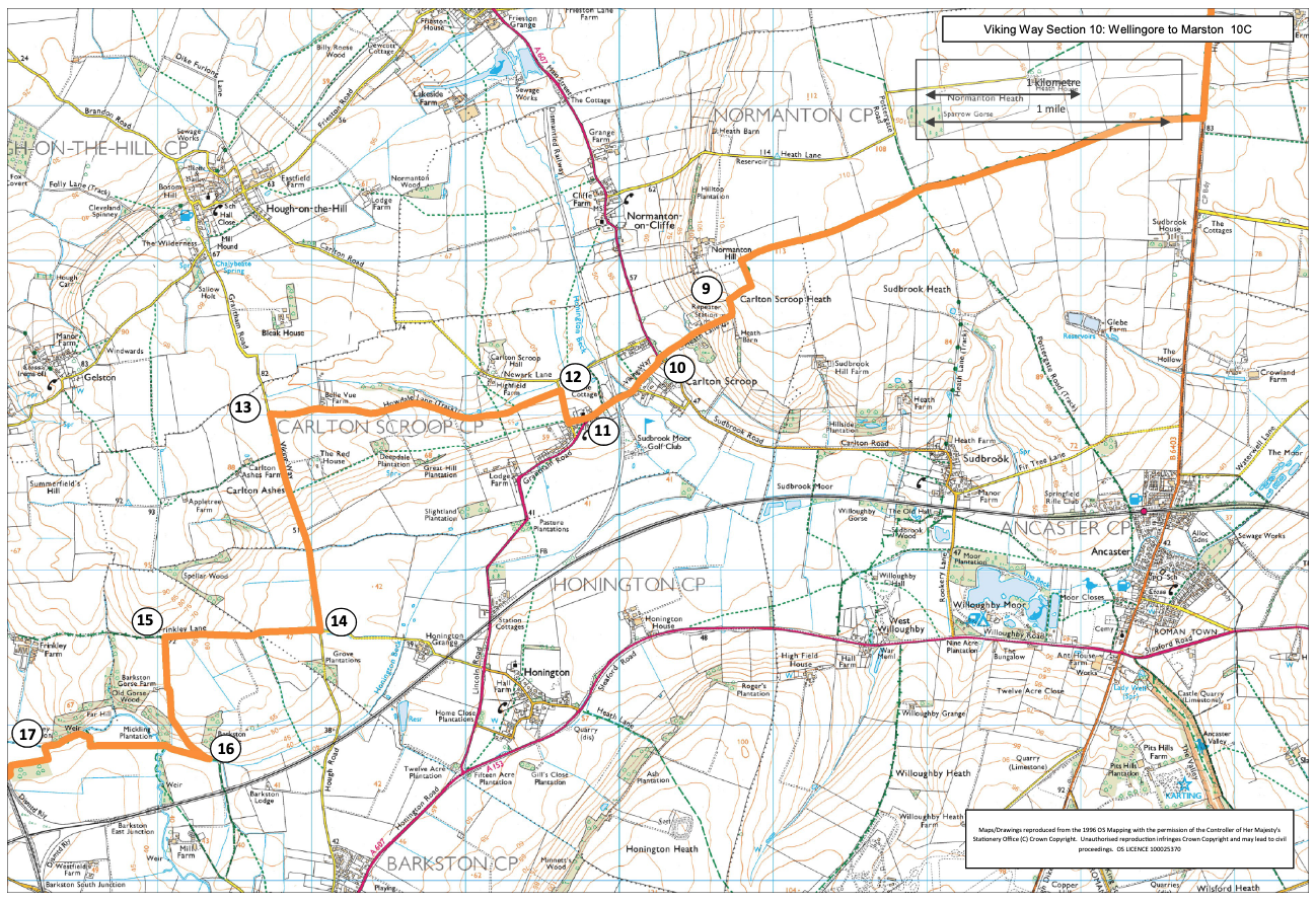
- 9Follow the lane downhill to a road junction.
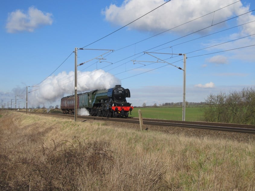
- 10Cross the road with care and turn left, signed Grantham. Walk along the roadside path, over the old railway.
- 11Bear right to walk past the church.
- 12At the bend in the road turn right, signed Hough on the Hill. Follow the road for approx. 200m. Turn left onto a restricted byway. Follow the track for just over a mile (1.5 km) to a junction with a road.
- 13Turn left and walk along the road for after approx. one mile (1.6 kilometres).
- 14Turn right onto a public bridleway and follow it for approx. 0.6 miles (one kilometre), to the top of the slope.
- 15Turn left off the restricted bridleway and on to a bridleway.
- 16At the bottom of the hill at a junction with another bridleway turn right. Cross the river and follow the track straight ahead across the field. Continue for approx. 0.75 miles (1.2 kilometres) and walk next to the river.
- 17Turn left and follow the bridleway. Turn right in front of a small woodland. Follow the bridleway under the railway line to a junction with a track. Turn right, alongside the sewage works, and then onto a road. Follow the road as it bends and continue for another 150m.
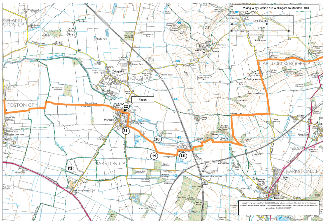
- 18Turn right on to a bridleway and follow it for approx. 500m.
- 19Bear right onto another bridleway.
- 20At a junction with a road continue straight ahead into the village of Marston.
- 21At the T-junction turn right and follow the road past Marston Hall and the school to another T-junction.
- 22Turn right and almost immediately left along Stonepit Lane.